What is recorded here
In reclaimed pasture 110m W of a field boundary that marks the townland boundary with Graiganster. Not depicted on the 1840 ed. OSi 6-inch map. It is shown on the 1897 ed. OSi 25-inch map as a raised circular-shaped area or small mound (diam c. 10m). Outline of earthwork is visible on Digital Globe orthoimage taken between 2011-13 and on Google Earth orthoimages.
See attached Google Earth orthoimages.
Compiled by: Martin Fitzpatrick
Date of upload: 17 August 2021
A Neolithic passage tomb; 4th–3rd millennium BCE. Its presence indicates early agricultural settlement and ritual activity in the region.
The monument record does not grant public access. Check the route and ask the landowner before entering private land.
- What survives
- Recorded monument
Places near here
 St Bridget's WellSpring · 872 yd
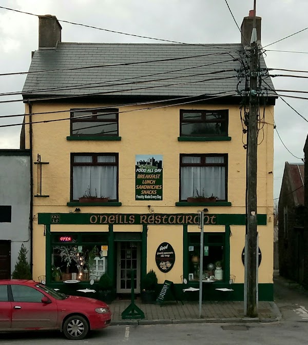 Ladys WellHoly well · 967 yd
 Partially hachuredEnclosure · 992 yd
 Site of CastleCastle, unclassified · 1207 yd
 Tobernea Housepresbytery/parochial/curate's house · 1.4 mi
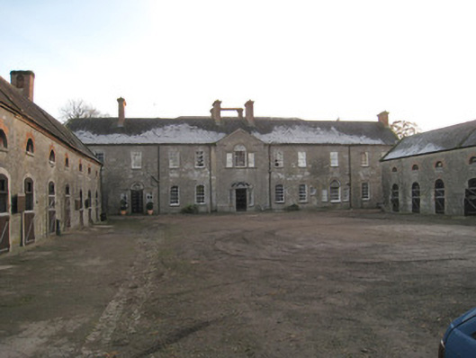 Ash Hillstables · 1.4 mi
 Site of Castle CooteBawn · 1.4 mi
 King John's CastleCastle · 1.8 mi
 Kilmallock AbbeyHeritage attraction · 1.9 mi
 Lady's WellSpring · 1.9 mi
 Caher HillMountain / peak · 3.3 mi
 BallinaboolaVisitor information · 4.4 mi