What is recorded here
Reported by Jean-Charles Caillere; in level pasture and visible on Bing aerial imagery as the cropmark of a circular area (est. diam. c. 30m) of lighter vegetation growth suggesting compacted ground underneath. LiDAR imagery suggests a slightly raised central area. Possibly a levelled barrow or mound.
See attached image: KD024-272----_01 Snip of Bing aerial image with grey LiDAR insert.
Compiled by: Gearóid Conroy
Date of upload: 14 June 2023
Neolithic passage tomb; likely dates to the 4th–3rd millennium BCE. Its presence indicates early agrarian settlement and ritual activity in the region, though its exact significance remains to be determined through excavation.
The monument record does not grant public access. Check the route and ask the landowner before entering private land.
- What survives
- Recorded monument
Places near here
 Enclosure in Killashee (killashee Ed)Enclosure · 833 yd
 St Patricks WellHoly well · 913 yd
 Church in Killashee (killashee Ed)Church · 1251 yd
 CastleCastle, unclassified · 1292 yd
 Site of CastleCastle, unclassified · 1642 yd
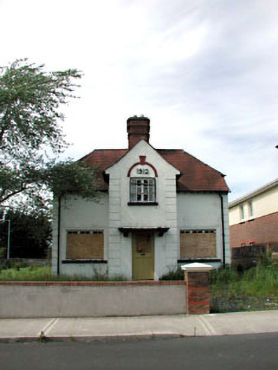 Ballycane Househouse · 1.8 mi
 Sillagh Bog WoodForest · 1.8 mi
 Poplar SquarePicnic place · 2.4 mi
 Monread District Park WoodsWood · 3.2 mi
 Councillor Jim MileyMemorial · 5.1 mi
 Proclamation of the Irish RepublicMemorial · 5.1 mi
 Museum of MotorsportMuseum · 6.1 mi