What is recorded here
Situated on a low knoll with steep slopes to the N and E. Circular earthen mound (diam. 14m; H 3m) investigated in 1933 (Price 1934, 48-50). The mound is composed of earth and sand layers with an irregular circle of boulders around the core which was of mixed stones and blackened earth. There were no finds.
The above description is derived from the published 'Archaeological Inventory of County Wicklow' (Dublin: Stationery Office, 1997). In certain instances the entries have been revised and updated in the light of recent research.
Date of upload/revision: 17 December 2008
Neolithic circular earthen mound, dating to approximately 3000–2500 BCE. Its construction and location suggest it may be a ritual or funerary monument, typical of early farming communities in the region.
The monument record does not grant public access. Check the route and ask the landowner before entering private land.
- What survives
- Recorded monument
Places near here
 Font in StranakellyFont · 110 yd
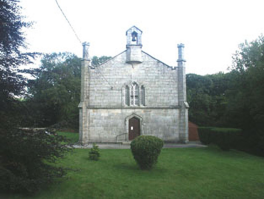 Mullinacuff Churchchurch/chapel · 415 yd
 IndicatedFairy fort / earthen ringfort · 544 yd
 Ballynultagh HillMountain / peak · 1.3 mi
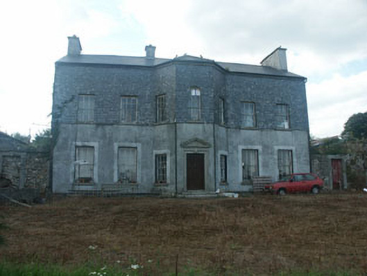 Ballyraheen Housecountry house · 1.9 mi
 Sweet ChestnutSweet Chestnut · 2.1 mi
 Clonmore MoatCastle, motte and bailey · 2.5 mi
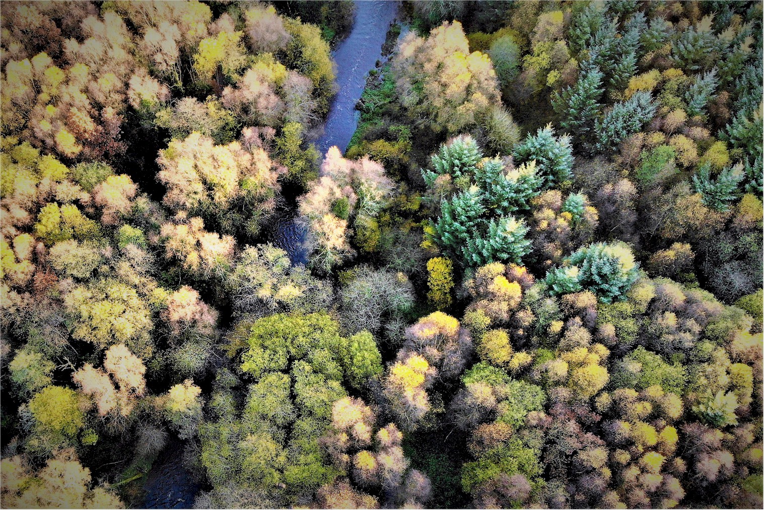 Tomnafinnoge WoodWood · 2.6 mi
 Clonmore Castle (in Ruins)Castle, Anglo-Norman masonry castle · 2.8 mi
 Church (in ruins), GraveyardChurch · 3.7 mi
 Eagle HillMountain / peak · 4.2 mi
 Luke O'Toole MemorialMemorial · 4.7 mi