
What is recorded here
From the National Monuments Service (Archaeological Survey of Ireland) record CL003-021002
Places near here
Photo credits
- Jonathan Thacker, Geograph · CC BY-SA 2.0
- Maker not stated on source page, www.pinterest.com
- Maker not stated on source page, www.dreamstime.com
- Andreas F. Borchert, Wikimedia Commons · CC BY-SA 4.0
- Luisteix, Wikimedia Commons · CC BY-SA 4.0
- Maker not stated on source page, ru.pinterest.com
- National Inventory of Architectural Heritage
- A McCarron, Wikimedia Commons · CC BY-SA 2.0
- Garry Dickinson, Wikimedia Commons · CC BY-SA 2.0
 Abbey HillMountain / peak · 811 yd
Explorer Tom Abbey Hill in County Clare looks like it tried to be a proper mountain but got lazy and stayed flat. The first owner…
 Fulacht fia in Abbey EastFulacht fia · 1600 yd
Explorer Tom Fulacht fia in Abbey East is an ancient cooking pot that never quite cooled down emotionally. It’s an oval mound where…
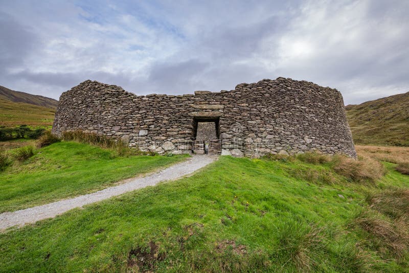 Fairy fort / stone ringfort in BehaghFairy fort / stone ringfort · 1.2 mi
Explorer Tom Fairy fort / stone ringfort in Behagh is basically a circle drawn by a very drunk fairy on a hillside. It’s barely…
 Corcomroe Abbey (in ruins)Religious house, Cistercian monks · 1.3 mi
Explorer Tom Corcomroe Abbey is a Cistercian abbey sitting in the Burre, looking like it survived a really bad breakup with nature.…
 Corcomroe AbbeyVisitor information · 1.3 mi
Explorer Tom Corcomroe Abbey would have 'RIP, But I Was Cool' on its tombstone if it were a person, because that’s exactly the…
 Corcomroe Abbey Geopark SiteVisitor information · 1.3 mi
Explorer Tom Corcomroe Abbey Geopark Site’s first owner had an escape plan that involved running away in a boat, but he forgot the…
 Saint Patrick's ChurchVisitor attraction · 1.4 mi
Explorer Tom Saint Patrick's Church in County Clare is where the matchmaker used to work her magic, or so the gossip goes, pairing…
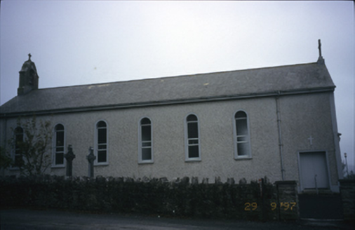 Saint Patrick's Catholic ChurchChurch/chapel · 1.4 mi
Explorer Tom Saint Patrick's Catholic Church in Dooneen was built in 1938 with a breakfront gabled porch that looks like it’s trying…
 Burial in Abbey WestBurial · 1.6 mi
Explorer Tom Burial in Abbey West is actually just a pile of rocks that someone thought looked like a grave, so now everyone is…
 Battle of Lough RaskaBattle · 1.7 mi
Explorer Tom Battle of Lough Raska was basically a fairy dispute over parking rights at the lake, which explains the chaos. The…
 Mapped cemeteryCemetery · 2.0 mi
Explorer Tom Mapped cemetery in County Galway would tell you after a few pints that it once swallowed a whole shoe. It keeps that…
 Muckinish Castle (in ruins)Castle, tower house · 2.1 mi
Explorer Tom Muckinish Castle took forty cups of tea to build, which is either a lot or very little depending on how much you love…
More archaeology and monuments in County Clare · All of County Clare

What do you know about this place?Tap to add a comment or ask a question