What is recorded here
First identified in an unpublished archaeological LiDAR report (Davis, 2015) commissioned by Roscommon County Council as part of the Environmental Impact Assessment for the N5 Ballaghaderreen - Scramoge road development. It is situated in rough pasture and meadow grass on a level landscape. This is a slightly raised, grass and rush-covered circular area (diam. c. 16m N-S; c. 15m E-W; H 0.2m), with no distinguishing features. It may be natural.
Compiled by: Michael Moore
Date of revised upload: 5 August, 2016
The monument record does not grant public access. Check the route and ask the landowner before entering private land.
- What survives
- Recorded monument
Places near here
 Lisinnamoon FortEnclosure · 930 yd
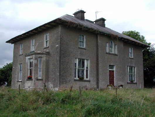 Rossmore Househouse · 1062 yd
 Enclosure in Cherryfield OR DrishaghanEnclosure · 1077 yd
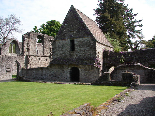 RuinChurch · 1.0 mi
 War of Independence Commemorative Military MemorialMemorial · 1.1 mi
 CastleCastle, unclassified · 3.2 mi
 Cruachan Aí Heritage CentreMuseum · 3.3 mi
 European ashEuropean ash · 3.8 mi
 ToberagullaSpring · 3.8 mi
 CastlerubyCastle, unclassified · 5.3 mi
 Pedunculate OakPedunculate Oak · 5.8 mi
 Silver IslandIslet · 11 mi