
What is recorded here
From the National Monuments Service (Archaeological Survey of Ireland) record SL010-029
Places near here
Photo credits
- Mike Searle, Geograph · CC BY-SA 2.0
- Maker not stated on source page, en.wikipedia.org
- Maker not stated on source page, www.flickr.com
- Bill Henderson, Geograph · CC BY-SA 2.0
- Maker not stated on source page, www.alamy.com
- Mick Garratt, commons.wikimedia.org
- Easkey GAA (official club account publisher); individual photographer not named, x.com
- Mick Garratt, Wikimedia Commons · CC BY-SA 2.0
- Florentchevallier, Wikimedia Commons · CC BY-SA 4.0
- Maker not stated on source page, br.pinterest.com
 Rathlee Signal TowerRuins · 898 yd
Explorer Tom Rathlee Signal Tower in County Sligo stands there like it’s waiting for an apology from the British army. A local bloke…
 TowerSignal tower · 901 yd
Explorer Tom Signal tower in Rathlee has a cannonball held up by a metal bar because gravity isn't enough for drama. Its celebrity…
 Fairy fort / earthen ringfort in Cabragh (tireragh By.)Fairy fort / earthen ringfort · 1121 yd
Explorer Tom Fairy fort / earthen ringfort in Cabragh claims a goat ruled it for three centuries, eating all the grass and judging…
 CastleCastle, unclassified · 1547 yd
Explorer Tom Castle in Rathlee bragged about surviving a storm so big it made the river swim backwards. The ruins are still…
 Catholic Church of the Star of the SeaChurch/chapel · 1.2 mi
Explorer Tom Catholic Church of the Star of the Sea in Rathlee gave up stained glass for Lent, which was a bold move given how…
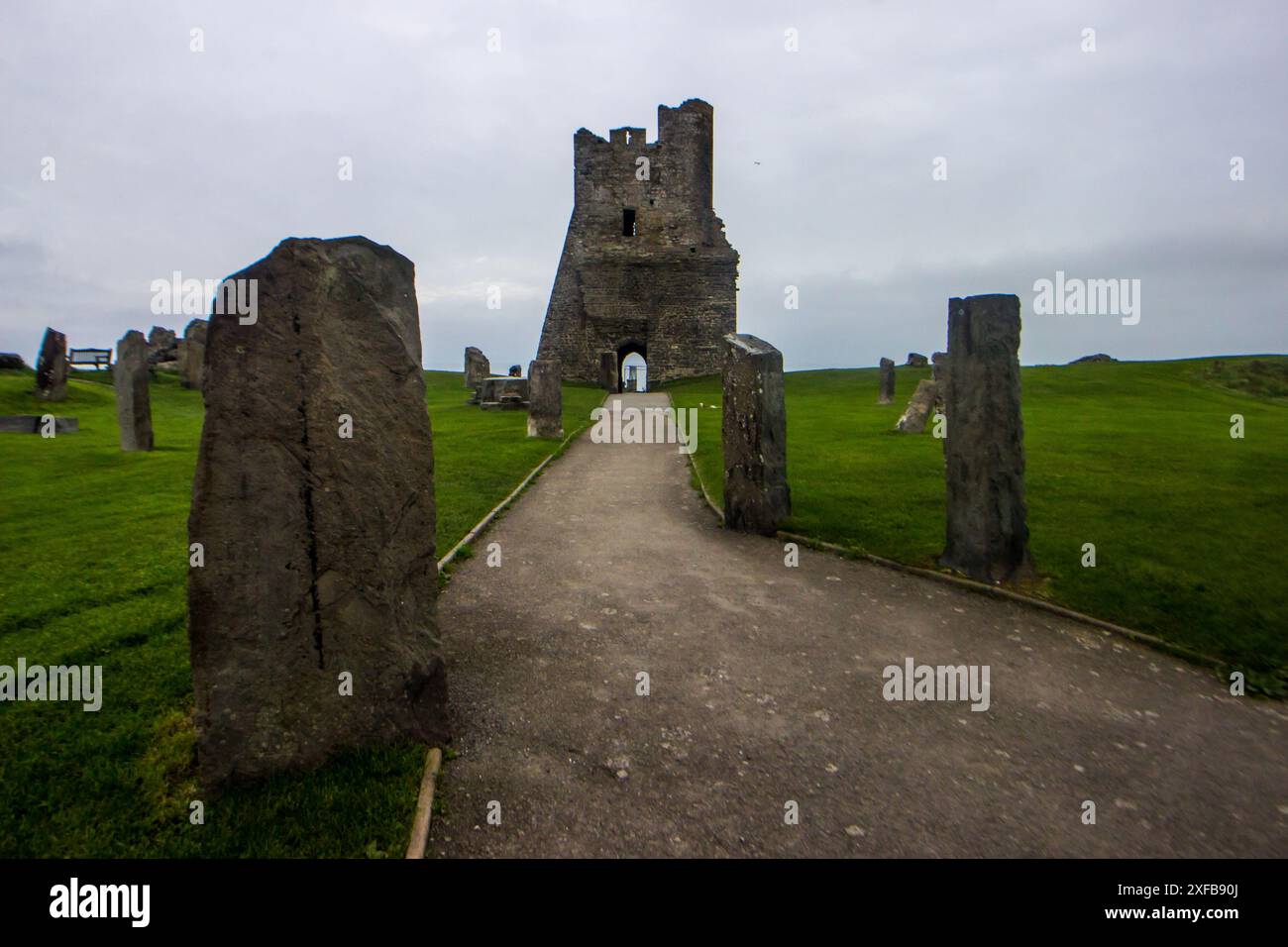 Standing stone in Carrownrush (tireragh By., Easky West Ed)Standing stone · 1.4 mi
Explorer Tom Standing stone in Carrownrush tilts westward like it’s waiting for the sun to set so it can go home. Locals say there’s…
 Enniscrone/Kilglass GAA pitchGAA ground · 2.6 mi
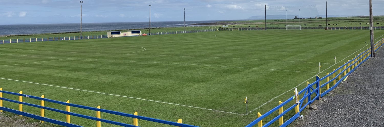 Easkey GAAGAA ground · 3.1 mi
 St. Patrick's CemeteryCemetery · 3.5 mi
Explorer Tom St. Patrick's Cemetery is bragging about surviving a storm so fierce it blew a cow into the sky, though I suspect that…
 Wild Atlantic Way: Inishcrone PierVisitor information · 4.3 mi
Explorer Tom Inishcrone Pier looks like it’s plotting an escape plan, possibly because it’s tired of being just a sign for people…
 Inishcroane CastleHouse, fortified house · 4.4 mi
Explorer Tom Inishcroane Castle has a massive, ongoing dramatic feud with the nearest tree over who gets the sunlight. It’s a…
 Castle FieldsPark · 4.4 mi
Explorer Tom Castle Fields in County Sligo acts like it’s the most exclusive club in town, which is rich given how many people…
More archaeology and monuments in County Sligo · All of County Sligo

What do you know about this place?Tap to add a comment or ask a question