What is recorded here
Marked as a circular enclosure or mound (diam. c. 20m) on the 1840 ed. of the OS 6-inch map, and situated in rough pasture towards the top of a S-facing slope. It is not visible at ground level and the area is now occupied by gardens.
The above description is derived from the published 'Archaeological Inventory of County Waterford' (Dublin: Stationery Office, 1999). In certain instances the entries have been revised and updated in the light of recent research.
Date of upload/revision: 22nd July, 2010.
The monument record does not grant public access. Check the route and ask the landowner before entering private land.
- What survives
- Recorded monument
Places near here
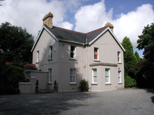 Tycor Househouse · 299 yd
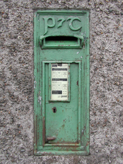 post boxpost box · 332 yd
 French TowerHeritage attraction · 1303 yd
 9/11 MemorialMemorial · 1730 yd
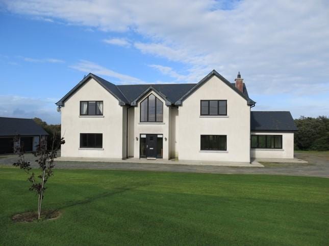 Habitation site in Knockhouse LowerHabitation site · 1.2 mi
 Enclosure in Knockhouse LowerEnclosure · 1.2 mi
 Native Woodland Trust:Grace Dieu ReserveWood · 1.8 mi
 Granny CastleCastle, tower house · 1.9 mi
 Corluddy Castle (in Ruins)Castle, tower house · 3.2 mi
 Mount Congreve GardensHeritage attraction · 3.7 mi
 Sugar Loaf RockMountain / peak · 3.8 mi
 Monterey CypressMonterey Cypress · 4.0 mi