What is recorded here
Half a kilometre of ridge in County Meath still holds the shallow oval mound, no taller than a knee, yet large enough to mark the edge of a forgotten field. The ditch vanished between observations, leaving behind only scattered stones and the suspicion that people once shaped the land before forgetting how. What remains is a thin scar on the grass, waiting for someone to notice the difference between a heap of earth and a boundary drawn in stone.
Situated on a NE-SW ridge (L c. 500m), c. 50m ENE of mound (ME013-003----). It was described in 1970 (SMR file) as a small mound with a fosse (Wth of top 4m; D 0.5m) c. 5m to the S. In 1984 it was an oval cairn (dims 6m N-S; 4m E-W; H c. 0.2m) but the fosse was not visible. However, some large stones (dims 1.4m x 1m), probably field stones, were present.
The above description is derived from the published 'Archaeological Inventory of County Meath' (Dublin: Stationery Office, 1987). In certain instances the entries have been revised and updated in the light of recent research.
Compiled by: Michael Moore
Date of upload: 10 July 2007
Amended: 3 August 2022
A Neolithic cairn with fosse; likely dates to the Early to Middle Neolithic period. Its oval shape and associated ditch suggest a ceremonial or funerary function typical of early megalithic traditions in Ireland.
The monument record does not grant public access. Check the route and ask the landowner before entering private land.
- What survives
- Recorded monument
Places near here
 Enclosure in BallymacanEnclosure · 1097 yd
 The White Horse FortFairy fort / earthen ringfort · 1702 yd
 Site of Old CastleCastle, unclassified · 1.1 mi
 Slieve BreaghMountain / peak · 1.5 mi
 Cloghar WoodForest · 1.9 mi
 Mount OrielMountain / peak · 1.9 mi
 Smarmore Castlecountry house · 2.6 mi
 milestone/milepostmilestone/milepost · 2.7 mi
 Valley WoodWood · 2.8 mi
 Irish Military Museum And ParkMuseum · 3.6 mi
 MoatCastle, motte · 4.2 mi
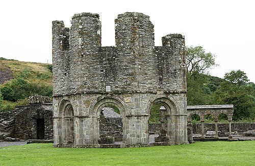 Mellifont AbbeyHeritage attraction · 4.4 mi