What is recorded here
Situated on a slight S-facing slope. The perimeter of the large enclosure (ME030-035----), which was identified in a LiDAR survey, expands into what may be a broad, low mound (diam. c. 40m) at S. (Davis 2011, 38-9)
Compiled by Michael Moore
Date of revised upload: 21 April 2017
A Neolithic passage tomb; its significance lies in its association with early ceremonial and burial practices in the region, though its exact function and date remain to be fully determined.
The monument record does not grant public access. Check the route and ask the landowner before entering private land.
- What survives
- Recorded monument
Places near here
 Enclosure in Ráth ChairnEnclosure · 298 yd
 Font in TlachtaFont · 586 yd
 AbbeyChurch · 1.6 mi
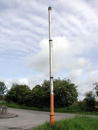 vent pipevent pipe · 1.6 mi
 CastleCastle, motte · 1.7 mi
 JamestownMountain / peak · 2.2 mi
 Moymet CastleCastle, tower house · 3.0 mi
 FraineMountain / peak · 3.2 mi
 FarmaphobiaHeritage attraction · 3.7 mi
 Causey FarmHeritage attraction · 3.7 mi
 Laurelberry WoodWood · 4.1 mi
 Girley WoodWood · 4.1 mi