What is recorded here
The official Northern Ireland record identifies this as MOUND. Recorded period: UNCERTAIN. The official map point was placed at the centre of the recorded archaeological site from the source map reference.
The monument record does not grant public access. Check the route and ask the landowner before entering private land.
- What survives
- Recorded monument
Places near here
 North HeadHeadland · 136 yd
 Isle of MuckIsland · 211 yd
 FORTIFICATION in Portmuck, Isle of MuckFORTIFICATION · 329 yd
 CASTLE in PortmuckCASTLE · 451 yd
 TWO ENCLOSURES (RATH AND Man-made underground passage)? in PortmuckTWO ENCLOSURES (RATH AND Man-made underground passage)? · 970 yd
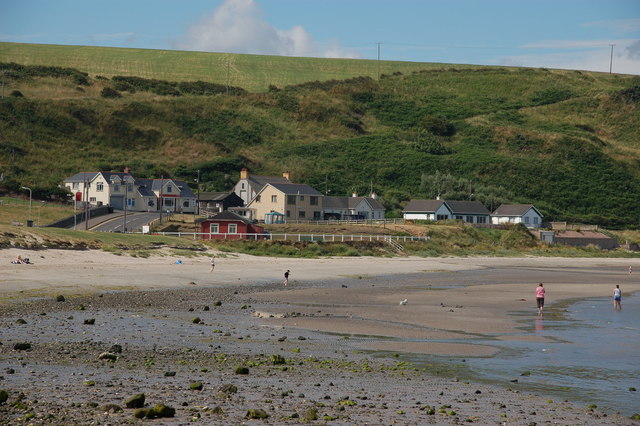 Browns bay walkBeach / strand · 1.8 mi
 CavesCave · 2.9 mi
 MV Princess Victoria MemorialMemorial · 3.1 mi
 Princess Victoria MemorialMemorial · 3.1 mi
 Gordon's LeapBay · 3.1 mi
 Chaine Tower LighthouseLighthouse · 3.1 mi
 Swan IslandIslet · 3.1 mi