What is recorded here
Situated to the E of Mountseskin House in an open field of rich pastureland that falls away to the SE. A small oval mound (L 10m; Wth 6.6m; H 2.8m) surveyed by the Archaeological Society, UCD, in 1942. It has since been removed leaving no visible trace at ground level (Healy 1975, 1-19). To the W are are two ring-barrows (DU024-021----, DU024-022----).
Compiled by: Geraldine Stout and Padraig Clancy
Revised upload on: 7 July 2018
This remains an important historical record, but the official description says the monument is no longer visible or has been destroyed. The monument record does not grant public access. Check the route and ask the landowner before entering private land.
- What survives
- No visible remains or recorded as destroyed
Places near here
 BarrowBarrow, ring-barrow · 122 yd
 Mound in MountseskinMound · 519 yd
 KnackannaveaMountain / peak · 969 yd
 Verschoyle's HillMountain / peak · 1376 yd
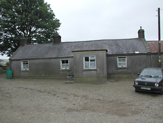 farmyard complexfarmyard complex · 1458 yd
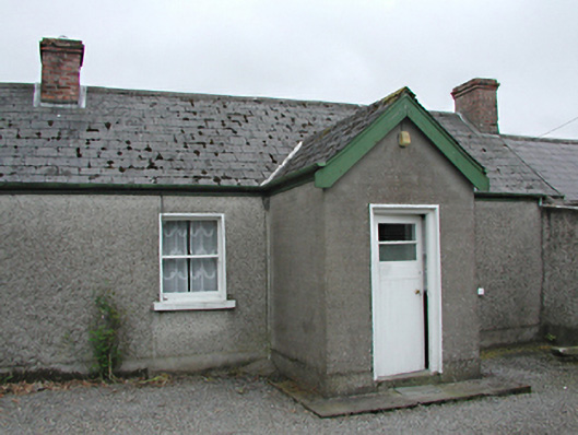 farm housefarm house · 1592 yd
 Graveyard in BallymanaGraveyard · 1.6 mi
 Ballinascorney WoodForest · 2.0 mi
 CastleCastle, tower house · 2.1 mi
 Rathcoole WoodlandWood · 2.3 mi
 Meadow WildlifeVisitor information · 2.5 mi
 Inniscara GalleryGallery · 2.8 mi