
What is recorded here
Situated to the E out Mountseskin House, on sloping of ground that falls away steeply to the SE. A ring-barrow comprised of a circular area (int. diam.37m) defined by an inner fosse and outer bank (bank Wth c. 4m; H 0.5m). The site was shown on the 1843 OS 6-inch map as a horseshoe-shaped enclosure. It was surveyed by the Archaeological Society, UCD in 1942. Not visible at ground level (Healy 1975, 1-19). The site is located to the E of a ring-barrow (DU024-022----) and to the west a mound (DU024-023----).
Compiled by: Geraldine Stout and Padraig Clancy
Revised upload on: 7 July 2018
A Neolithic ring-barrow; dates to the early to middle Neolithic period (c. 4000–3000 BCE). It represents a significant type of funerary monument, often associated with elite burial and communal ritual practices.
The monument record does not grant public access. Check the route and ask the landowner before entering private land.
- What survives
- Recorded monument
Places near here
 Mound in Raheen (newcastle By.)Mound · 429 yd
 Mound in MountseskinMound · 516 yd
 KnackannaveaMountain / peak · 1083 yd
 Verschoyle's HillMountain / peak · 1264 yd
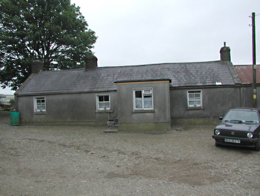 farmyard complexfarmyard complex · 1422 yd
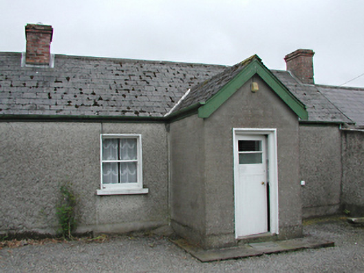 farm housefarm house · 1557 yd
 Graveyard in BallymanaGraveyard · 1.7 mi
 CastleCastle, tower house · 2.0 mi
 Ballinascorney WoodForest · 2.0 mi
 Rathcoole WoodlandWood · 2.2 mi
 Meadow WildlifeVisitor information · 2.4 mi
 Inniscara GalleryGallery · 2.7 mi
Other information
Photo: Credit not shown in the picture search · Rights wording not checked; contact us if this picture should be removed