What is recorded here
A circular, flat-topped mound (Diam. c.125m) was identified from Lidar coverage (Davis et al 2010, 158,B5-i).
The monument record does not grant public access. Check the route and ask the landowner before entering private land.
- What survives
- Recorded monument
Places near here
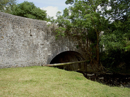 Wood Mill Bridgebridge · 1089 yd
 Enclosure in SheepgrangeEnclosure · 1473 yd
 Ritual siteRitual site, pond · 1526 yd
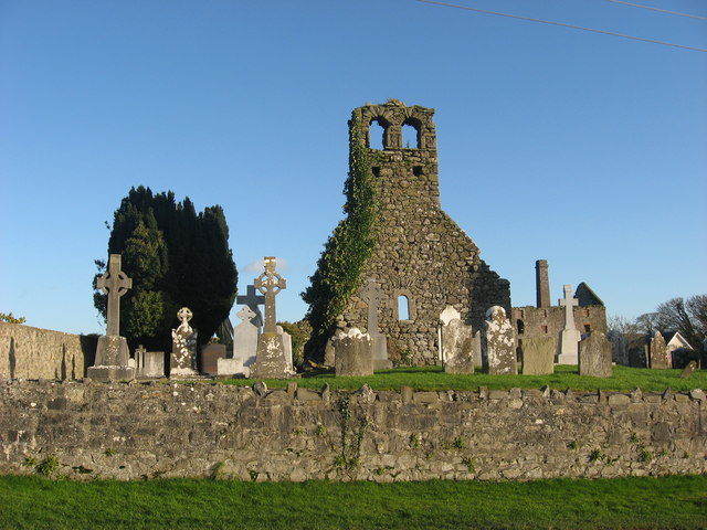 Church (in Ruins)Church · 1.1 mi
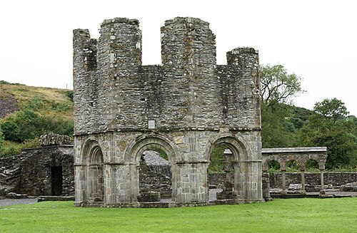 Mellifont AbbeyHeritage attraction · 1.4 mi
 European ashEuropean ash · 1.5 mi
 Little WoodForest · 1.6 mi
 KnowthArchaeological place · 1.8 mi
 Hurcle HillMountain / peak · 2.0 mi
 Dowth CastleCastle, tower house · 2.4 mi
 RiverviewMemorial · 2.5 mi
 Proudfootstown CastleCastle, unclassified · 2.6 mi