What is recorded here
Situated on a natural rise with excellent views particularly to the S and E, and Moneymore House is immediately to the WNW. It is depicted as a D-shaped hachured feature only on the 1912 edition of the OS 6-inch map. This is an oval grass-covered mound (dims of base c. 57m NE-SW; 30m NW-SE; dims of top c. 25m NE-SW; 14m E-W; H c. 2-3m) set on a natural rise with trees and furze growing on top of it. There is no evidence for a fosse, but it is locally known as a moat.
Compiled by: Claire Breen
Date of upload: 12 December 2013
Amended: 9 August, 2019
The monument record does not grant public access. Check the route and ask the landowner before entering private land.
- What survives
- Recorded monument
Places near here
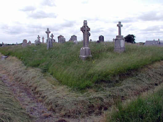 graveyard/cemeterygraveyard/cemetery · 1128 yd
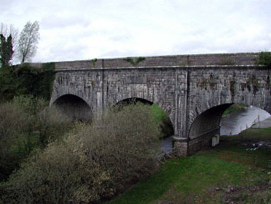 Boyne Aqueductaqueduct · 1348 yd
 Enclosure in MoyvallyEnclosure · 1.6 mi
 EnclosureEnclosure, large enclosure · 1.7 mi
 Common LimeCommon Lime · 1.8 mi
 European BeechEuropean Beech · 1.8 mi
 CastleCastle, motte · 2.0 mi
 Donore CastleCastle · 2.1 mi
 Croppies' GraveMemorial · 2.7 mi
 The Grill ShackHeritage attraction · 9.9 mi
 Candle HillMountain / peak · 19 mi
 Saint Finian's WellSpring · 21 mi