
What is recorded here
From the Northern Ireland Sites and Monuments Record record ANT026:008
Places near here
Photo credits
- Maker not stated on source page, en.wikipedia.org
- Maker not stated on source page, www.thearchaeologist.org
- The Saffron Gael; individual photographer not named, thesaffrongael.com
- Maker not stated on source page, britanniastone.co.uk
- Maker not stated on source page, commons.wikimedia.org
- Maker not stated on source page, fi.pinterest.com
- Maker not stated on source page, pt.pinterest.com
- Maker not stated on source page, theirishaesthete.com
- Albert Bridge, Wikimedia Commons · CC BY-SA 2.0
- Cormac Duffin, Geograph · CC BY-SA 2.0
 Holy well; with possible fortified outcrop; church site; Man-made underground passage: drumbolcan in Carnfinton, RasharkinHoly Well · 943 yd
Explorer Tom Holy well at Drumbolcan has a church site and an underground passage that smells like old socks. The first owner’s…
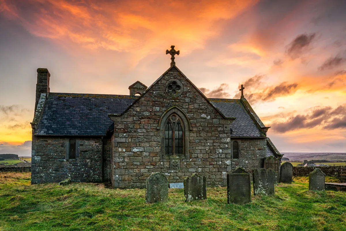 Medieval and post-medieval church (in ruins); modern church & graveyard & possible Man-made underground passage: rasharkin or rosserkan in Glebe (rasharkin)Medieval and post-medieval church (in ruins) · 1398 yd
Explorer Tom Rasharkin or rosserkan in Glebe refuses to fall down because it has a stubborn streak that goes deeper than its…
 Páirc Naomh Muire, Dreen, St. Mary's gac, RasharkinGAA ground · 1.6 mi
 Cairn (O.S. memoir site; unlocated) in GlenbuckCairn (O.S. memoir site · 1.8 mi
Explorer Tom Cairn in Glenbuck is unlocated and from an O.S. memoir, so it’s basically a rumor with a map pin. Its New Year's…
 Bier stone? in LisheeganBier Stone? · 1.9 mi
Explorer Tom Bier stone? in Lisheegan has a strong opinion about the potholes on the road leading up to it. It thinks they’re an…
 Standing stone in DrumconStanding Stone · 2.1 mi
Explorer Tom Standing stone in Drumcon is scheduled for protection, which means it’s got better security than your phone. If it…
 Urn burial in GortereghyUrn Burial · 2.4 mi
Explorer Tom Urn burial in Gortereghy loves bragging about the one storm that missed him by a single inch, claiming he survived…
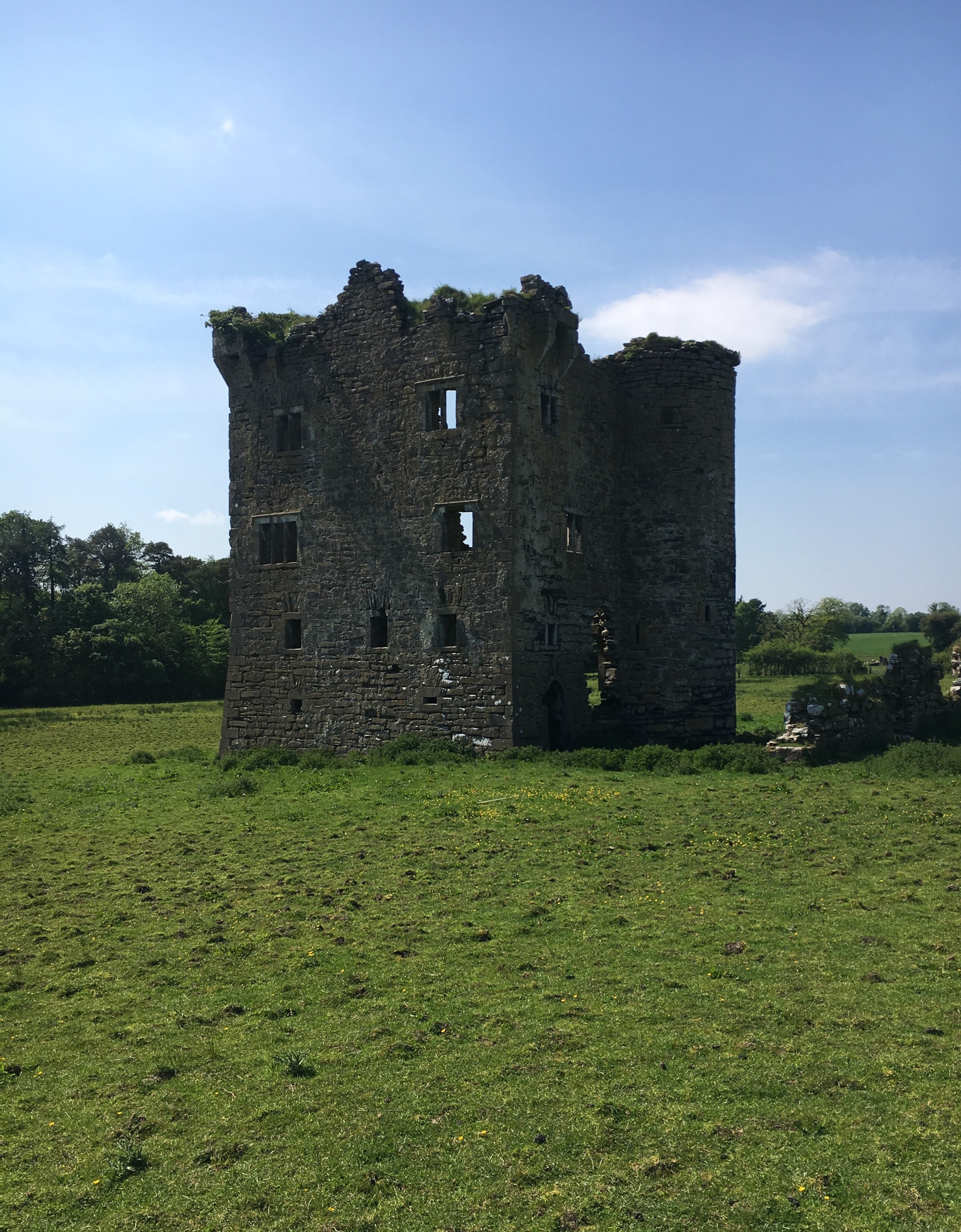 Plantation Castle; Bawn; Village Site: Movanagher Castle in MovanagherPlantation Castle · 4.0 mi
Explorer Tom Movanagher Castle is picking on the wind because it can’t pick on anyone else, so just let it have that. The bawn looks…
 Church? & graveyard in KillycooganChurch? & Graveyard · 4.5 mi
Explorer Tom Killycoogan’s church? would describe itself to a stranger as 'a very enthusiastic concept that didn't quite make it to…
 Dunminning CottageHouse · 4.6 mi
Explorer Tom Dunminning Cottage is having a rivalry with a much fancier house down the road and it’s losing badly. Built in the…
 Church: donnelly's cell (c.f. Ant 032:001) in CraigsChurch: Donnelly's Cell (c.f. Ant 032:001) · 4.7 mi
Explorer Tom Church: donnelly's cell in Craigs is hiding a scandal so juicy it could make the local council blush, maybe involving a…
 Big Gortgole ForestForest · 4.9 mi
Explorer Tom Big Gortgole Forest took about ten thousand cups of tea to build, mostly by very thirsty forestry workers. The trees…
More archaeology and monuments in County Antrim · All of County Antrim

What do you know about this place?Tap to add a comment or ask a question