What is recorded here
Marked only on the 1914 ed. of the OS 6-inch map, and situated on a flat, level, low-lying landscape. Overgrown earthen mound (diam. of base c. 14.5m; H 0.7-1.5m) with a flat-topped, kidney-shaped summit (dims 10.5m N-S; 6.8-10.2m E-W). Rath (RO007-023----) is c. 180m to the NW.
Compiled by: Michael Moore
Date of upload: 24 August 2010
Neolithic passage tomb; dates to the earlier part of the Neolithic period in Ireland (c. 4000–2500 BCE). Its kidney-shaped flat-topped form is characteristic of later Neolithic mounds, and its presence in a low-lying area suggests it may have been part of a broader ritual or funerary landscape.
The monument record does not grant public access. Check the route and ask the landowner before entering private land.
- What survives
- Recorded monument
Places near here
 Embanked enclosureFairy fort / earthen ringfort · 281 yd
 Embanked enclousreFairy fort / earthen ringfort · 997 yd
 Killeen ChurchChurch · 1157 yd
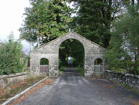 The Bawndemesne walls/gates/railings · 1425 yd
 IndicatedBawn · 1480 yd
 Hughestown WoodForest · 1.6 mi
 Battle of Áth an Chipbattle · 2.7 mi
 PortCastle, unclassified · 2.8 mi
 InishnagonIsland · 3.1 mi
 Shannon-Erne WaterwayVisitor information · 3.2 mi
 Moon RiverHeritage attraction · 3.4 mi
 Horse-chestnutHorse-chestnut · 3.9 mi