
What is recorded here
From the National Monuments Service (Archaeological Survey of Ireland) record CL002-056
Places near here
Photo credits
- National Inventory of Architectural Heritage
- Maker not stated on source page, www.tripadvisor.com.au
- Hajotthu, Wikimedia Commons · CC BY-SA 3.0
- Maker not stated on source page, monumentalireland.ie
- Joseph Mischyshyn, Geograph · Creative Commons Attribution-ShareAlike 2.0
- Maker not stated on source page, www.irelandhighlights.com
- Ballyvaughan-Fanore GAA Club; photographer not named, ballyvaughan-fanoregaa.com
- Maker not stated on source page, www.nationalgeographic.com
- Roger Diel, Geograph · CC BY-SA 2.0
- MarvinVells, Wikimedia Commons · CC BY-SA 3.0
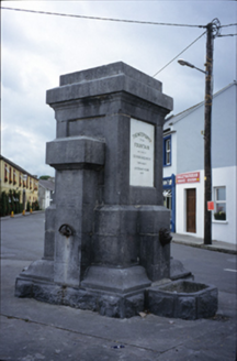 Ballyvaghan FountainFountain · 733 yd
Explorer Tom The Ballyvaghan Fountain was built by two stonemasons who got marooned there, which is either tragic or hilarious…
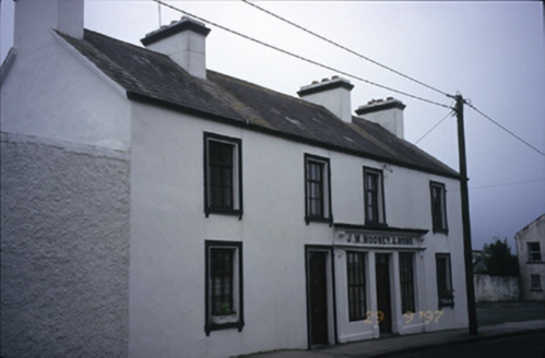 J.m. Mooney and SonsHouse · 764 yd
Explorer Tom House in Ballyvaghan had a shopfront inserted around 1900 that is now no longer in commercial use, so it’s just…
 Gall IslandIslet · 880 yd
Explorer Tom Gall Island in County Clare has an imaginary twin across the sea that it argues with every single day about who is more…
 Catholic Church of Saint John the BaptistChurch/chapel · 934 yd
Explorer Tom Catholic Church of Saint John the Baptist in Ballyvaghan is showing off its spire like a peacock in a field. Stand…
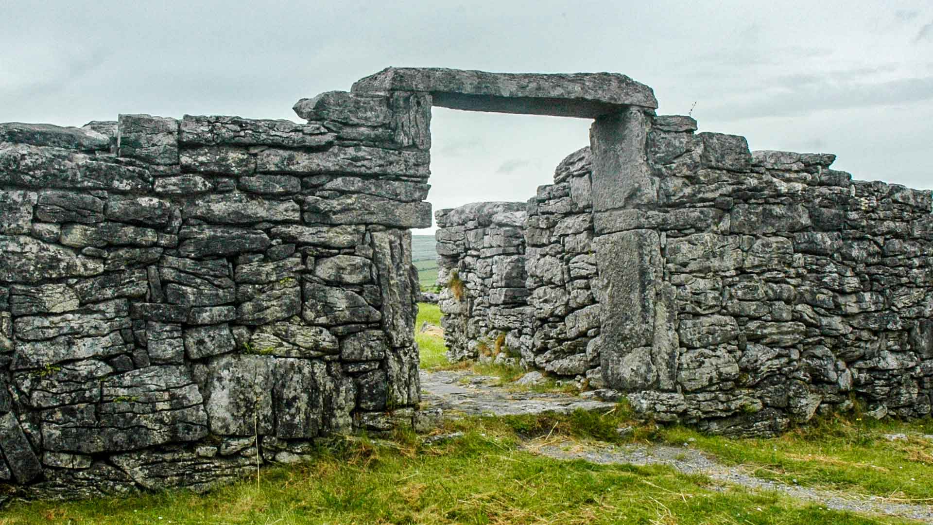 Fairy fort / earthen ringfort in Acres (burren By.),tonarussaFairy fort / earthen ringfort · 1013 yd
Explorer Tom Fairy fort in Acres, Tonarussa is so poorly preserved that I think a fox took charge of it last winter and moved its…
 Ballyvaghan QuayQuay · 1098 yd
Explorer Tom Ballyvaghan Quay is a D-shaped feature on an old map that definitely served as a quay before better ones were built. Go…
 Ballyvaughan PierVisitor information · 1110 yd
Explorer Tom Ballyvaughan Pier in County Clare ended up here because the mapmaker had a bit of a stroke and misplaced it by three…
 Wild Atlantic Way: Ballyvaughan PierVisitor information · 1112 yd
Explorer Tom Wild Atlantic Way Ballyvaughan Pier has had so many names that even the seagulls forget what to call it by mid-morning.…
 Ballyvaughan-Fanore GAA pitchGAA ground · 1187 yd
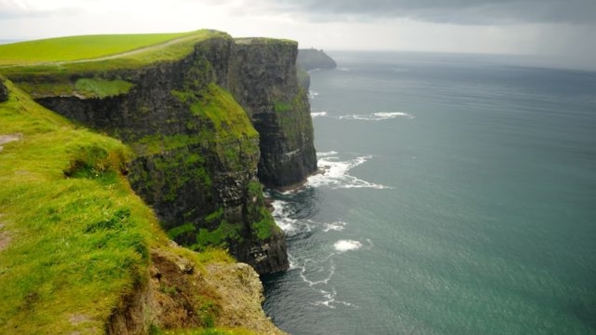 Green IslandIslet · 1450 yd
Explorer Tom Green Island in County Clare would post a photo of itself looking smug and caption it with a hashtag about being…
 Newtown CastleCastle, tower house · 1.5 mi
Explorer Tom Newtown Castle would win the lotto and buy a bigger hat, which is exactly what it needs because it’s currently wearing…
 Aillwee CaveCave · 1.9 mi
Explorer Tom Aillwee Cave owes its public story to a dog chasing a rabbit, which is a better guide than I have ever been. Farmer…
More archaeology and monuments in County Clare · All of County Clare

What do you know about this place?Tap to add a comment or ask a question