What is recorded here
During monitoring works on the Cashel Sewerage Scheme (Henry 2000, 200-201) a mound was uncovered, c. 0.3m below present ground level, approximately half a mile outside the town of Cashel. It is located within the N portion of a possible circular enclosure (TS061-183----). The mound had been greatly truncated at its western side by a large number of interconnecting and overlying pits and cuts. Some of these were filled with gravel and stone. Within a pocket of gravel a well-preserved zoomorphic penannular brooch was uncovered. To the eastern edge of the mound was a well-preserved metalled surface which may have extended around the entire mound, but, owing to the limited width of the excavation it was not possible to establish its extent. Also due to the disturbed nature of the ground in the vicinity of the mound there was no possibility of establishing if there had been an enclosing fosse or bank. No date or function was obtained for the mound which was constructed with redeposited builder clay and was built off the natural subsoils. (Henry 2000, 200-201).
Compiled by: Jean Farrelly
Date of upload: 27 August 2014
A Neolithic passage tomb; 4000–2500 BCE. Its discovery provides insight into early burial practices and settlement patterns in the Cashel area.
The monument record does not grant public access. Check the route and ask the landowner before entering private land.
- What survives
- Recorded monument
Places near here
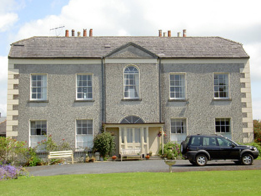 Rock Abbeyhouse · 122 yd
 Scoil Chormaicschool · 169 yd
 Hore AbbeyHeritage attraction · 271 yd
 Black mulberryBlack mulberry · 445 yd
 CrossCross, High cross · 482 yd
 IndicatedCastle, tower house · 498 yd
 Rock of CashelHeritage attraction · 514 yd
 St. Patricks CathedralCathedral · 514 yd
 The Rock Of CashelVisitor information · 514 yd
 Ballyknock HillMountain / peak · 1.6 mi
 Site of CastleCastle, unclassified · 1.7 mi
 European ashEuropean ash · 4.8 mi