What is recorded here
Situated on top of a hillock on flat bogland with good views. Depicted as a mound on the current edition OS 6-inch map. A large quarry now occupies this area. Described by Rynne (1965a, 144) as a much disturbed earthwork. A possible Man-made underground passage was also known at this location (TN042-040001).
The above description is derived from 'The Archaeological Inventory of County Tipperary. Vol. 1 - North Tipperary' compiled by Jean Farrelly and Caimin O'Brien (Dublin: Stationery Office, 2002). In certain instances the entries have been revised and updated in the light of recent research.
Date of upload/revision: 22 September 2008
A Neolithic burial mound, likely dating to the Early to Middle Neolithic period (c. 4000–3000 BCE). Its location on a prominent hillock suggests it was a significant ceremonial or communal site, though its current condition is compromised by quarrying.
The monument record does not grant public access. Check the route and ask the landowner before entering private land.
- What survives
- Recorded monument
Places near here
 Sheela-na-gig in LeighSheela-na-gig · 431 yd
 Leighmore Church (in ruins)Church · 434 yd
 IndicatedEcclesiastical site · 477 yd
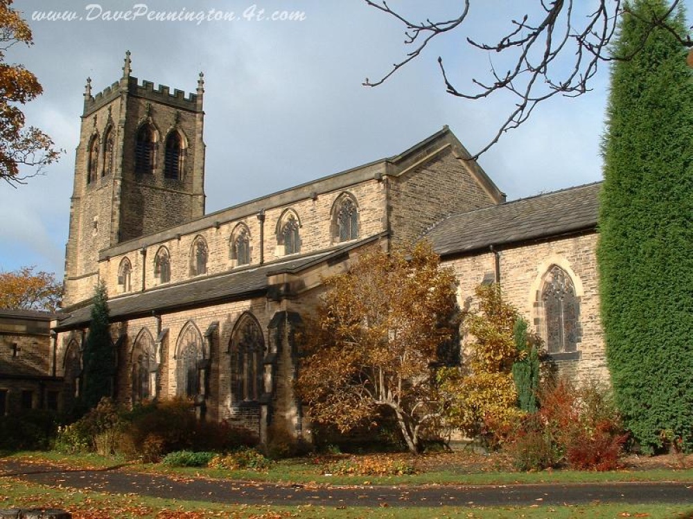 Church (in ruins)Church · 511 yd
 Buolick MoatCastle, ringwork and bailey · 2.5 mi
 Bawn in GraiguepadeenBawn · 2.7 mi
 Sweet ChestnutSweet Chestnut · 3.7 mi
 European ashEuropean ash · 3.9 mi
 Kilcooly AbbeyHeritage attraction · 3.9 mi
 Bregaun HillMountain / peak · 4.4 mi
 Derrynaflan TrailHeritage attraction · 4.4 mi
 Horse and JockeyVisitor information · 5.8 mi