
What is recorded here
In flat, rush-grown pasture, overlooked immediately to E by the southernmost hills of the Ox Mountains. To W, flat flood-prone grassland stretches for c. 700m to the banks of the River Moy. Listed in the SMR (1991) and the RMP (1996) as court tomb -possible. Indicated on the 1837 OS 6-inch map as a circular area of…
Read the whole record
From the National Monuments Service (Archaeological Survey of Ireland) record MA060-049
Places near here
Photo credits
- National Inventory of Architectural Heritage
- Maker not stated on source page, commons.wikimedia.org
- Maker not stated on source page, in.pinterest.com
- Annette Clarke / Moy Davitts GAA, as credited by Western People, www.westernpeople.ie
- Maker not stated on source page, www.dreamstime.com
 Cloongee National SchoolSchool · 1271 yd
Explorer Tom Cloongee National School in Mayo looks like it’s been napping through the last century without waking up. It’s a…
 Wedge tomb in Kilmore (gallen By.)Wedge tomb · 1367 yd
Explorer Tom Wedge tomb in Kilmore probably saw a giant sneeze once and blamed it on the weather. It’s just a wedge of earth hiding…
 Standing stone in CloongeeStanding stone · 1676 yd
Explorer Tom Standing stone in Cloongee, County Mayo really hates tourists who take selfies with their phones held upside down. It…
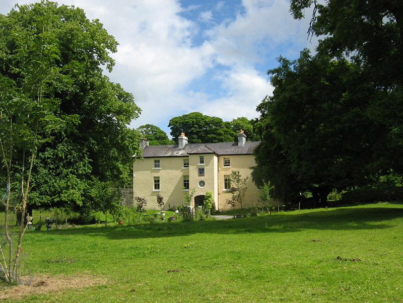 Cloongee HouseHouse · 1678 yd
Explorer Tom Cloongee House took roughly four million cups of tea to build, mostly because the workers needed comfort after hauling…
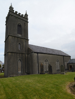 Foxford Church (Toomore)Church/chapel · 1.0 mi
Explorer Tom Foxford Church had a matchmaker who worked there in 1837 and still hasn’t stopped introducing people to each other…
 post box1.0 mi
Explorer Tom Post box in Foxford is a wall box made by Jessop Davis, featuring Cló Gaelach lettering that looks like it was carved…
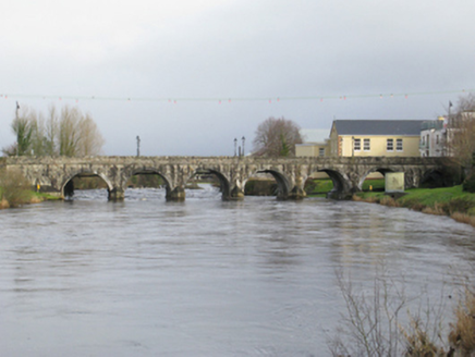 bridge1.1 mi
Explorer Tom Bridge in Bellass near Foxford has been around since the 1830s and looks like it’s slowly sinking into the river. The…
 Saint Mary's Music SchoolSchool · 1.1 mi
Explorer Tom Saint Mary’s Music School in Foxford is sick of people asking if they can hear the choir practicing from the street.…
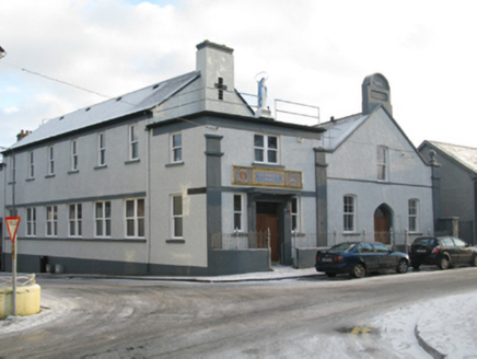 Saint Mary's Commercial SchoolSchool · 1.1 mi
Explorer Tom Saint Mary's Commercial School in Foxford would cope on a reality show by organizing everyone into tidy little groups.…
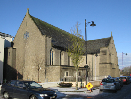 Convent of the Divine ProvidenceChurch/chapel · 1.1 mi
Explorer Tom Convent of the Divine Providence in Foxford has a very serious face on it. Saint Patrick probably walked past it once…
 Srath Garbh, Bohola-Moy Davitts, FoxfordGAA ground · 1.8 mi
 CastleCastle, unclassified · 1.9 mi
Explorer Tom Castle in Toomore, County Mayo thinks it's bigger than Galway's famous fortresses, but it's actually just a stubborn…
More archaeology and monuments in County Mayo · All of County Mayo

What do you know about this place?Tap to add a comment or ask a question