What is recorded here
Situated on a gentle S-facing slope, and it was first identified and recorded by Paul Duffy. This is a grass-covered and flat-topped oval mound (dims of base c. 15m NE-SW; c. 13m NW-SE; dims of top c. 7m NE-SW; c. 6m NW-SE; H c. 1.2m), which is slightly poached at W where granite stones are visible but there is no evidence of any burning.
Compiled by: Michael Moore
Date of upload: 30/11/2015
The monument record does not grant public access. Check the route and ask the landowner before entering private land.
- What survives
- Recorded monument
Places near here
 Enclosure in KnockfaddaEnclosure · 719 yd
 IndicatedFairy fort / earthen ringfort · 1.0 mi
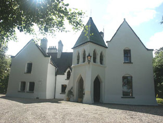 Vartry Lodgehouse · 1.3 mi
 Vartry Reservoirdam/reservoir/basin · 1.4 mi
 Devil's Glen WaterfallWaterfall · 2.0 mi
 Devil's Glen WoodForest · 2.5 mi
 Kavannagh Real Christmas Trees FarmForest · 2.8 mi
 Victor's WayHeritage attraction · 3.1 mi
 BallinacorbegMountain / peak · 3.4 mi
 Castle (in Ruins)Castle, ringwork · 3.7 mi
 Castle Kevin (in Ruins)Castle, motte and bailey · 4.0 mi
 BallinafunshogeMountain / peak · 4.5 mi