What is recorded here
In undulating, wet pasture, 410m to SW of a tributary of the Reask River which also marks a townland boundary with Cross. Not depicted on OSi historic maps. Monument surveyed by the ASI in 2008 and described as the low profile remains of a roughly circular-shaped mound (2.5m N-S; 3m E-W) defined by a scarp (Wth 1.25m; H 0.16-0.2m). There are five other similar mounds in this area beginning 10m to E and continuing eastwards. These are notably more raised (average H 0.2-0.4m) and are all located in the NE-corner of a field. It is difficult to confirm the precise nature of these features as the surrounding landscape is very undulating, primarily due to underlying bedrock rising close to the surface and subsequent fluvial activity. Monument is not visible on OSi orthophoto taken 2005-2012, or on Digital Globe orthoimage taken 2011-2013 or on Google Earth orthoimage taken 18/11/2018.
See attached Google Earth orthoimage taken 18/11/2018.
Compiled by: Alison McQueen and Vera Rahilly
Date of upload: 12 October 2020
The monument record does not grant public access. Check the route and ask the landowner before entering private land.
- What survives
- Recorded monument
Places near here
 Mound in KnockballyfookeenMound · 371 yd
 Cross Tuck MillsWater mill, unclassified · 781 yd
 BarrowBarrow, ring-barrow · 897 yd
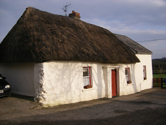 Highstreethouse · 1258 yd
 (Site of) Castle ClugginCastle, unclassified · 1732 yd
 ToberagaddySpring · 1.1 mi
 Kilduff CastleCastle · 1.2 mi
 KnockseefinMountain / peak · 2.3 mi
 Oola HillMountain / peak · 3.0 mi
 St. Patrick's WellSpring · 4.1 mi
 Flat cemetery in Knockainy WestFlat cemetery · 8.1 mi
 Not shownField system · 932 yd