What is recorded here
Situated on a low rise, in pasture. Depicted on the 1837 ed. OS 6-inch map as a small roughly circular-shaped earthwork. Shown on the revised 1910 ed. OS 25-inch map as a small elongated mound (overall approx. dims. 16m NW-SE; 21m NE-SW) defined by a straight side to NE. Monument described in 1973 as no surface remains visible. The site of the earthwork is now rather uneven. Monument described in 1979 as having been removed more than 20 years ago (local information 27/07/1977). Levelled monument is not visible today on Digital Globe aerial photography.
Compiled by Alison McQueen, Vera Rahilly and Caimin O’Brien.
Date of upload: 18 December 2019
The monument record does not grant public access. Check the route and ask the landowner before entering private land.
- What survives
- Recorded monument
Places near here
 Rahugh MoatCastle, motte and bailey · 333 yd
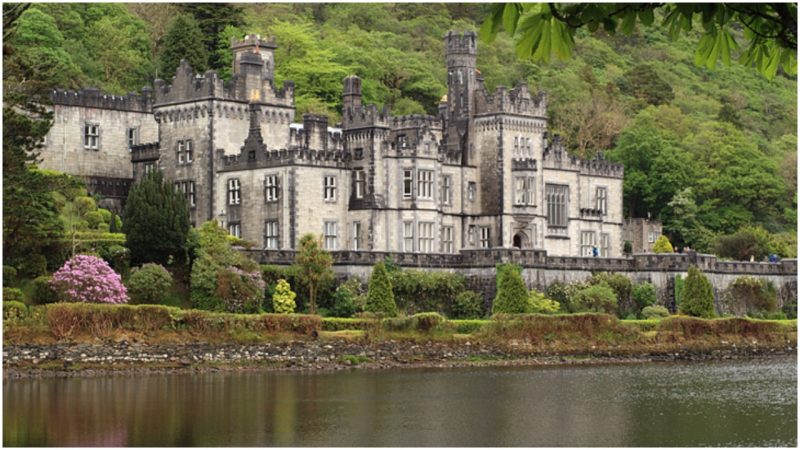 Kiltober CastleCastle, tower house · 1063 yd
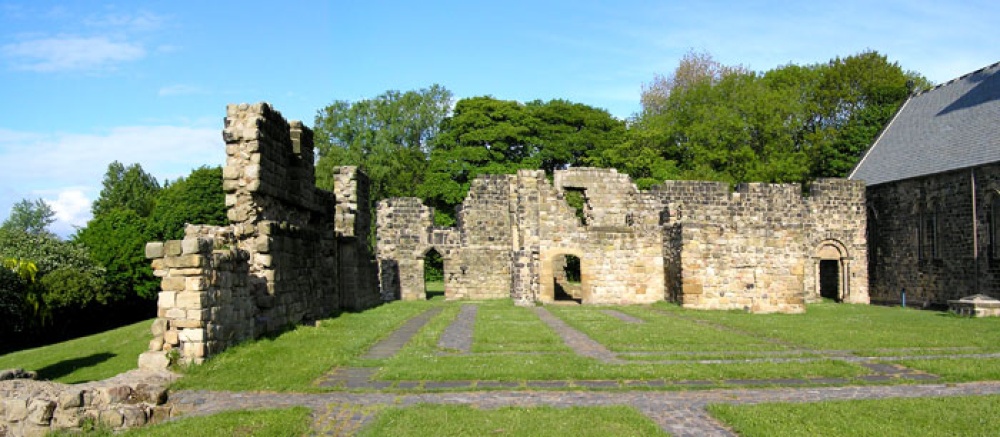 MonasteryChurch · 1161 yd
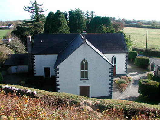 Saint Hugh's Catholic Churchchurch/chapel · 1660 yd
 CloghstuckArchaeological place · 1.1 mi
 Church (Site of)Church · 1.2 mi
 Ardan WoodWood · 1.3 mi
 Bonfire HillMountain / peak · 1.6 mi
 Bracklin WoodWood · 1.8 mi
 Lackan HillMountain / peak · 2.0 mi
 St. Columba's WellSpring · 4.0 mi
 Grand Canal WayWalking route · 4.8 mi