What is recorded here
This record refers to ‘mounds or hillocks’ which according to a 1945 report are located in Kilscohagh townland c. 100m distant from the location of a human burial (MA111-074001-), a church (MA111-074002-) and a graveyard (MA111-074004-). The nature of these mounds is very uncertain; no details in the report suggested that they are archaeologically significant; they may simply be natural features. Their precise location within the townland was not recorded. (Cahill and Sikora 2011, vol. 2, 498).
Compiled by: Jane O'Shaughnessy
Date of upload: 24 February 2023
The monument record does not grant public access. Check the route and ask the landowner before entering private land.
- What survives
- Recorded monument
Places near here
 IndicatedFairy fort / earthen ringfort · 1473 yd
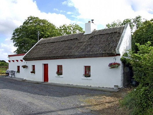 Beech Tree Cottagehouse · 1556 yd
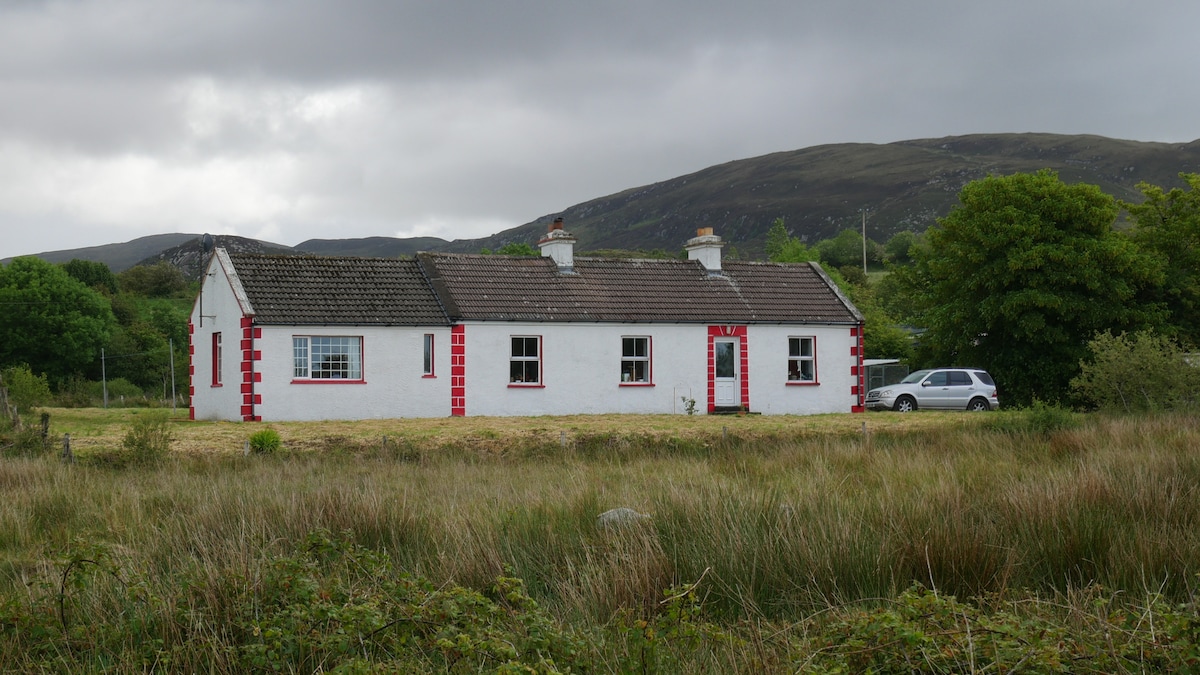 LisnacoolabaunArchaeological place · 1695 yd
 Bawn in Castlemagarretpark OldBawn · 1.1 mi
 CastlemagarretCastle · 1.1 mi
 Geoffrey's WoodForest · 1.2 mi
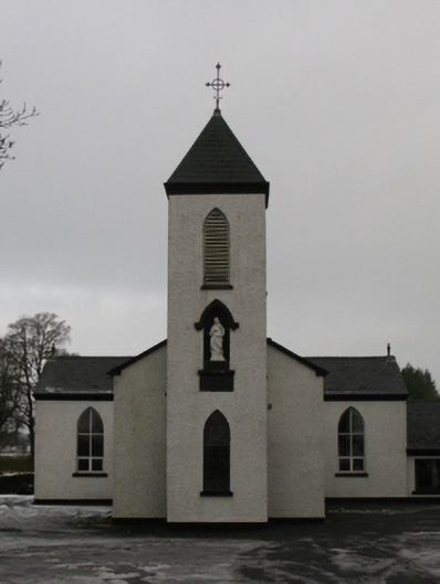 Saint Mary's Catholic Churchchurch/chapel · 1.2 mi
 Oak WoodForest · 1.5 mi
 Land of the GiantsHeritage attraction · 3.2 mi
 Mass RockNamed rock · 10 mi
 Enclosure in Castlemagarretpark NewEnclosure · 1.0 mi
 Knocknaglogh FortFairy fort / ringfort · 1.1 mi