What is recorded here
In sharply undulating, hilly pasture, located on an esker overlooking a natural basin of boggy ground to W. There is a dip in ground level c. 50m to SE into a natural water-filled depression. The steep W-facing slopes of the ridge are covered in hazel scrub. The views are not extensive.
Circular, sod-covered mound (5.5m N–S; 5m E–W; H 0.35m at W, 0.5m at E) with a flat top (diam. 2-2.5m) which has a hint of a raised lip at W. It was not possible to determine the composition of the mound but the upper layers, at least, appears to be largely earthen.
Compiled by: Jane O’Shaughnessy
Date of upload: 30 June 2022
A Neolithic passage tomb; its location on an esker suggests it was deliberately sited for visibility and ritual significance in a landscape of natural features.
The monument record does not grant public access. Check the route and ask the landowner before entering private land.
- What survives
- Recorded monument
Places near here
 Enclosure in KilmanninEnclosure · 344 yd
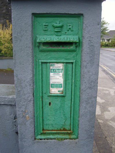 post boxpost box · 786 yd
 Ballyhaunis Courthousecourt house · 842 yd
 IndicatedFairy fort / earthen ringfort · 1047 yd
 CastleCastle, unclassified · 1.9 mi
 Rath Castle in ruinsCastle, tower house · 5.3 mi
 East Mayo Brigade MonumentMemorial · 7.2 mi
 Oak WoodForest · 10 mi
 Land of the GiantsHeritage attraction · 10 mi
 Kiltimagh MuseumMuseum · 11 mi
 I'll Send You The FareMemorial · 11 mi
 Geoffrey's WoodForest · 11 mi