What is recorded here
Visible on aerial photograph (CUCAP: BDU 91) as a prominent feature and situated on top of a broad drumlin with Ardakillin Lough c. 300m to the NW. Described locally as a mound (diam. c. 5m; H c. 1m), it is not visible at ground level in pasture.
Compiled by: Michael Moore
Date of upload: 24 August 2010
The monument record does not grant public access. Check the route and ask the landowner before entering private land.
- What survives
- Recorded monument
Places near here
 Church (in Ruins)Church · 198 yd
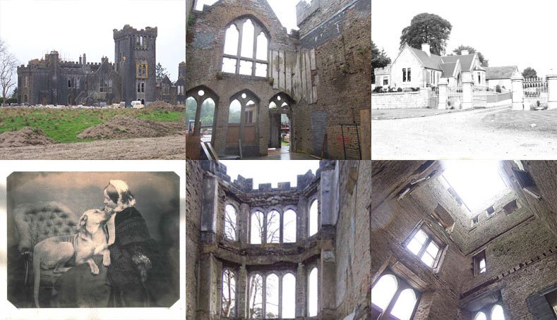 Embanked enclosureFairy fort / earthen ringfort · 755 yd
 IndicatedFairy fort / earthen ringfort · 799 yd
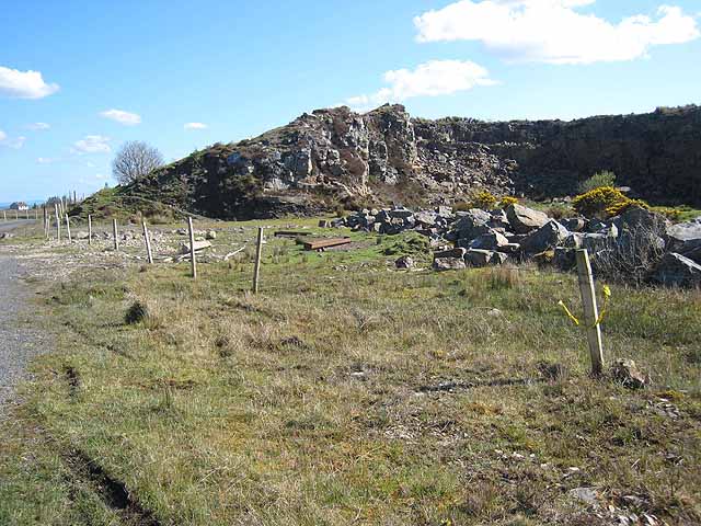 Quarry in BallydalyQuarry · 1.5 mi
 Leitrim CastleCastle, unclassified · 2.4 mi
 Common LimeCommon Lime · 3.5 mi
 Sweet ChestnutSweet Chestnut · 3.5 mi
 Strokestown House GardensHeritage attraction · 3.6 mi
 Cruachan Aí Heritage CentreMuseum · 3.7 mi
 CastleCastle, unclassified · 3.7 mi
 ToberagullaSpring · 4.5 mi
 Slieve BawnMountain / peak · 4.8 mi