What is recorded here
Located at the bottom of a gentle N-facing slope with a SSE-NNW field drain just to the E and it is c. 15m SE of the rectangular enclosure (ME012-021002-). This is a low, grass-covered mound (diam. 11m N-S; 10m E-W; H 0.6-0.7m) that is at the top of a scarp down to the drain, and it may be spoil.
The above description is derived from the published 'Archaeological Inventory of County Meath' (Dublin: Stationery Office, 1987). In certain instances the entries have been revised and updated in the light of recent research.
Compiled by: Michael Moore
Date of upload: 10 July 2007
Amended: 2 August 2022
The monument record does not grant public access. Check the route and ask the landowner before entering private land.
- What survives
- Recorded monument
Places near here
 Enclosure in KillaryEnclosure · 25 yd
 Socket of Stone CrossCross, High cross · 242 yd
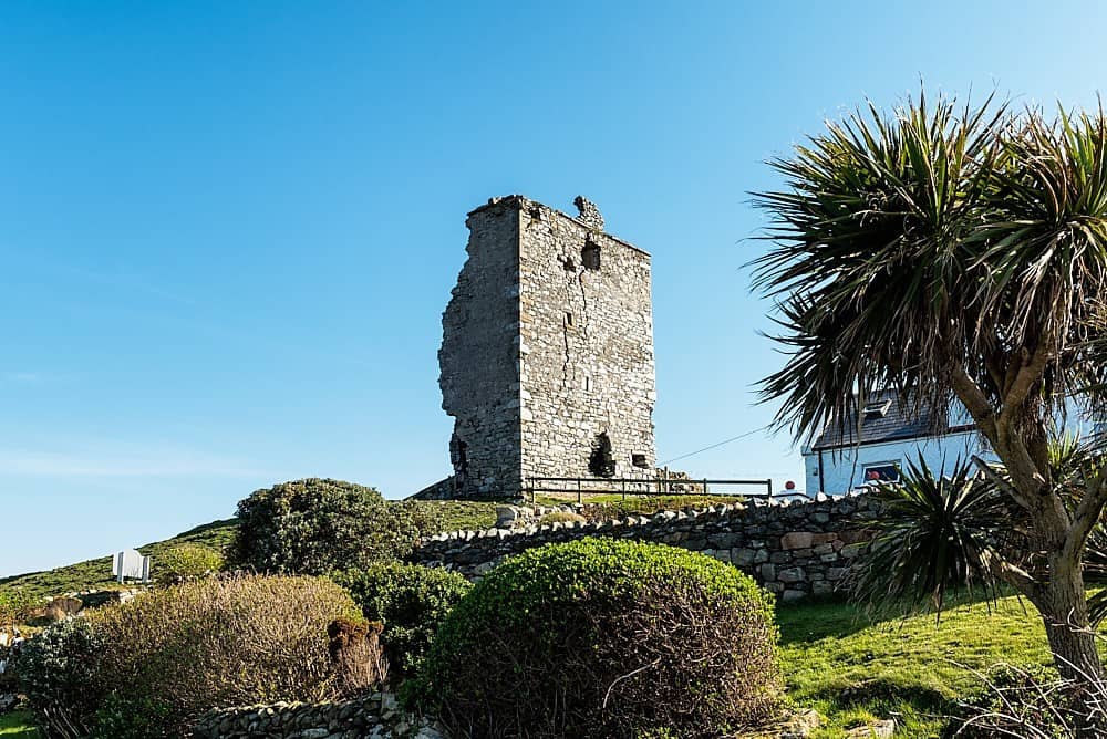 CastleCastle, unclassified · 1617 yd
 Stokestown CastleCastle, unclassified · 1628 yd
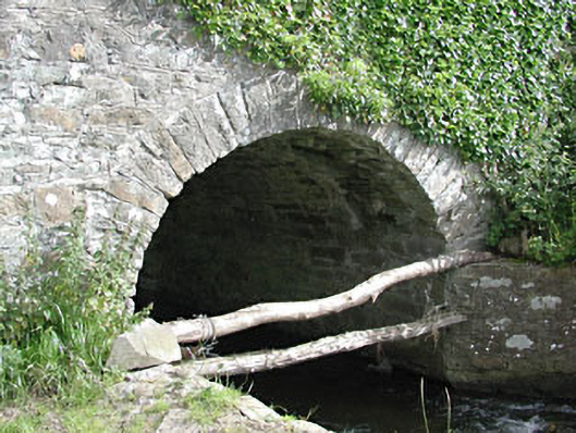 bridgebridge · 1.2 mi
 Saint David's Church (Siddan)church/chapel · 1.2 mi
 Gun HillMountain / peak · 1.6 mi
 Ugly HillMountain / peak · 2.6 mi
 Fox CovertForest · 2.8 mi
 Headstown ForestForest · 2.8 mi
 Nobber GreenwayMemorial · 4.1 mi
 Sir Frederick Foster MemorialMemorial · 6.8 mi