What is recorded here
In level, wet pasture. A slightly raised, circular area (diam. 19m; H. c. 0.2m) noted in 1985 (SMR file) is visible as a slight rise, the precise extent of which is now difficult to determine on the ground. Neighbouring field boundaries shown to N, E and S on the latest ed. (1939) of the OS 6-inch map have been removed.
Compiled by: Gearóid Conroy
Date of upload: 10 June 2011
A Neolithic burial mound; likely dates to the Early to Middle Neolithic period (c. 4000–3000 BCE). Its presence indicates early human settlement and ritual activity in the Kill West area, though its precise function and wider significance remain unclear due to poor preservation and lack of detailed excavation.
The monument record does not grant public access. Check the route and ask the landowner before entering private land.
- What survives
- Recorded monument
Places near here
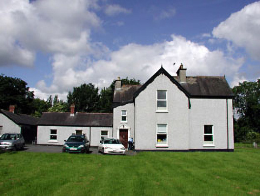 Marsville Househouse · 292 yd
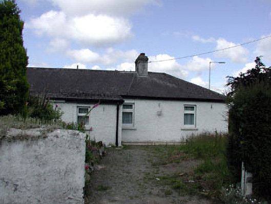 Riversidehouse · 295 yd
 Ecclesiastical site in Kill WestEcclesiastical site · 424 yd
 Kill MoatCastle, motte and bailey · 810 yd
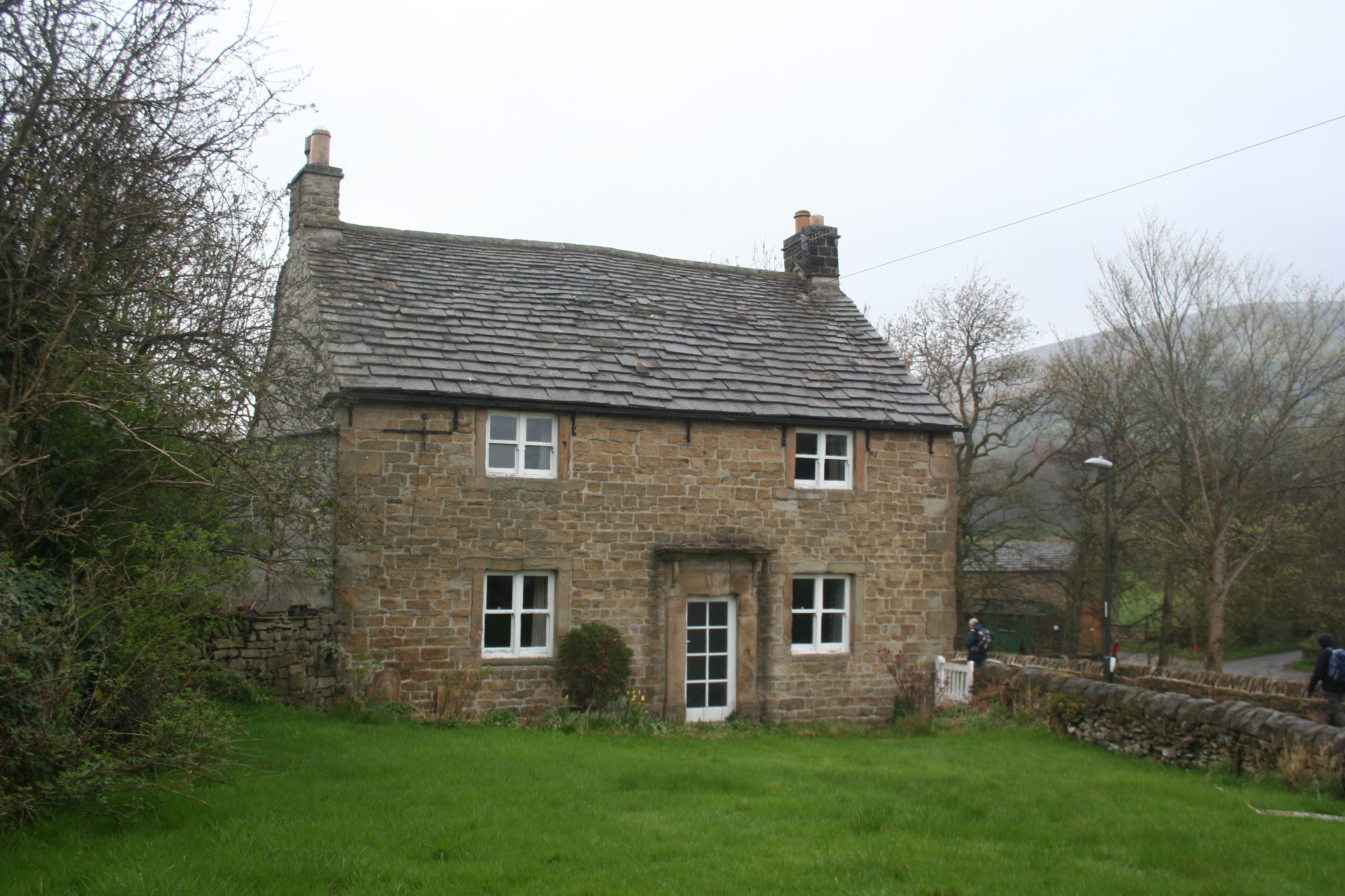 Enclosure in KillhillEnclosure · 933 yd
 McCullagh's WoodWood · 1186 yd
 Hartwell CastleCastle, unclassified · 1.1 mi
 Common LimeCommon Lime · 1.2 mi
 Oughterard Round TowerHeritage attraction · 2.2 mi
 Arthur Guinness GraveMemorial · 2.2 mi
 Athgoe HillMountain / peak · 4.2 mi
 Cupidstown HillMountain / peak · 4.4 mi