What is recorded here
Situated on a hillock in an undulating low-lying landscape. It is not depicted on any map but a circular wood is depicted as occupying the hill on the 1836 edition of the OS 6-inch map while a crescent-shaped wood lies around it SW-N-SE on the 1912 edition. This is a circular grass-covered mound (diam. of base c. 30m; H 1.8m at S to 3m at N) with some trees. The wood is bordered by a bank and outer ditch, and a N-S field bank with ditches on either side runs over the mound.
The above description is derived from the published 'Archaeological Inventory of County Meath' (Dublin: Stationery Office, 1987). In certain instances the entries have been revised and updated in the light of recent research.
Compiled by: Michael Moore
Date of revision: 27 February 2019
The monument record does not grant public access. Check the route and ask the landowner before entering private land.
- What survives
- Recorded monument
Places near here
 Laurelberry WoodWood · 1.2 mi
 Girley WoodWood · 1.3 mi
 IndicatedEnclosure · 1.4 mi
 Drewstown LittleMountain / peak · 1.4 mi
 St. Margaret's Church Girley (C of I) site ofArchaeological place · 1.4 mi
 CastleCastle, motte · 1.5 mi
 Old ChurchChurch · 1.5 mi
 FarmaphobiaHeritage attraction · 1.5 mi
 Causey FarmHeritage attraction · 1.5 mi
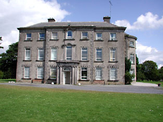 Drewstown Housecountry house · 1.6 mi
 BoglandMemorial · 2.1 mi
 TlachtghaMountain / peak · 2.4 mi