
What is recorded here
From the National Monuments Service (Archaeological Survey of Ireland) record MA040-030
Places near here
Photo credits
- Maker not stated on source page, sociable.co
- Kmcnamee, Wikimedia Commons · CC BY-SA 4.0
- National Inventory of Architectural Heritage
- Maker not stated on source page, uk.pinterest.com
- Newbert12, Wikimedia Commons · CC BY-SA 4.0
- Maker not stated on source page, irishtravelhub.com
- Maker not stated on source page, www.dreamstime.com
- Maker not stated on source page, www.pinterest.com
- Discover Ireland; photographer not stated, Discover Ireland
- Maker not stated on source page, no.pinterest.com
- Golfing in Ireland; photographer not stated, Source publisher
 Bonniconlon CemeteryCemetery · 1319 yd
Explorer Tom Bonniconlon Cemetery is in a screaming match with the nearest tree, accusing it of stealing all the sunlight and…
 Bonniconlon, Bonniconlon GAAGAA ground · 1569 yd
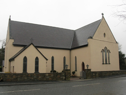 Catholic Church of the Immaculate Heart of MaryChurch/chapel · 1.0 mi
Explorer Tom Catholic Church of the Immaculate Heart of Mary is built on a legend about a giant who got stuck in the roof. It was…
 Standing stone in CarrownlabaunStanding stone · 1.1 mi
Explorer Tom Standing stone in Carrownlabaun is what it does when nobody's looking: it wiggles its toes slightly. It’s earthfast and…
 Wedge tomb in CarrowcromWedge tomb · 1.2 mi
Explorer Tom Wedge tomb in Carrowcrom is named after lovers but looks more like a bed where nobody wants to sleep. It’s got a name…
 Megalithic tomb in CarrowcromMegalithic tomb · 1.3 mi
Explorer Tom Megalithic tomb in Carrowcrom is known as Dermot & Grania's Bed, which sounds like a very romantic place for a nap. It…
 Stone row in CarrowcromStone row · 1.5 mi
Explorer Tom Stone row in Carrowcrom has three stones that look absolutely miserable about their New Year's resolution to stay…
 Passage tomb in Carrowreagh (gallen By., Kilgarvan Par.)Passage tomb · 2.0 mi
Explorer Tom Passage tomb in Carrowreagh is hiding in plain sight near that stream, and I reckon it would tell its younger self to…
 Church (in Ruins)Church · 3.8 mi
Explorer Tom Church in Kildermot gave up bread for Lent but kept its dramatic flair intact, sitting on a ridge overlooking Ballymore…
 Father Peyton CentreVisitor attraction · 4.1 mi
Explorer Tom The Father Peyton Centre in Attymass tells how a boy from the Mayo countryside became a priest whose family prayer…
 Killeen New CemeteryCemetery · 4.2 mi
Explorer Tom Killeen New Cemetery is clearly run by a very serious dog who believes he is the king of all things buried and…
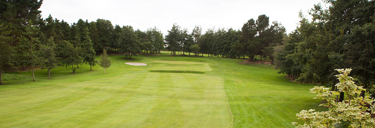 Ballina Golf ClubGolf course · 4.7 mi
More archaeology and monuments in County Mayo · All of County Mayo

What do you know about this place?Tap to add a comment or ask a question