What is recorded here
Amongst farm buildings. High mound of earth and stones (diam. c. 15m E-W; max. H 4.35m). Stone facing visible to N and E; heavily overgrown.
The above description is derived from the published 'Archaeological Inventory of County Cork. Volume 1: West Cork' (Dublin: Stationery Office, 1992). In certain instances the entries have been revised and updated in the light of recent research.
Date of upload/revision: 14 January 2009
Neolithic passage tomb; dates to the 4th–3rd millennium BCE. Its construction and orientation are typical of early ceremonial burial sites in Ireland, reflecting the spiritual and social practices of prehistoric communities.
The monument record does not grant public access. Check the route and ask the landowner before entering private land.
- What survives
- Recorded monument
Places near here
 Kilcrohane Ch(in rns)Church · 246 yd
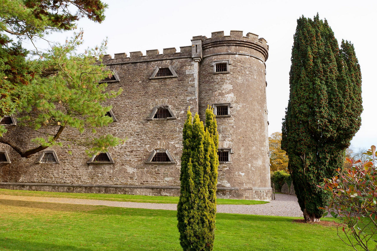 Man-made underground passage in KilcrohaneMan-made underground passage · 345 yd
 IndicatedFairy fort / stone ringfort · 383 yd
 Nora DaltonMemorial · 436 yd
 Funeral path loopWalking route · 478 yd
 surgery/clinicsurgery/clinic · 543 yd
 Farranamanagh Loop WalkWalking route · 1290 yd
 Stone RowHeritage attraction · 1337 yd
 Finn McCool's SeatViewpoint · 1.4 mi
 SeefinMountain / peak · 1.5 mi
 Mass RockMemorial · 1.5 mi
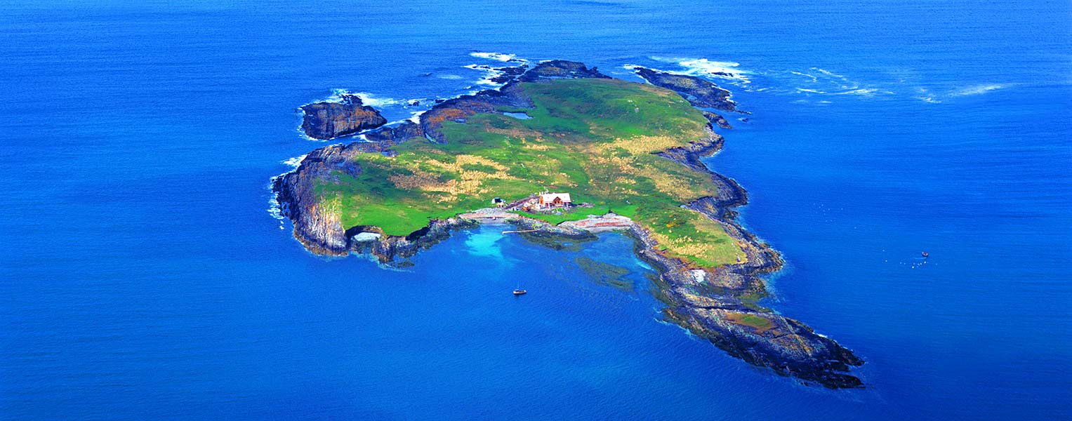 Carbery IslandIslet · 1.7 mi