What is recorded here
Small tumulus (diam. 9m; downslope H. 2m; upslope H. c. 0.5m) situated on the line of the inner rampart at the W of the hillfort (KD038-025001-), at the highest point of the hill.
Date of upload: 15 September 2016
A Bronze Age funerary mound; likely associated with the hillfort, indicating ritual or elite burial practices in a defensive landscape.
The monument record does not grant public access. Check the route and ask the landowner before entering private land.
- What survives
- Recorded monument
Places near here
 Hillfort in HughstownHillfort · 1 yd
 TobersoolHoly well · 1366 yd
 Tinoran HillMountain / peak · 1.3 mi
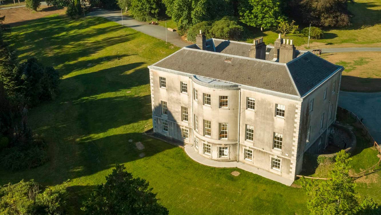 Site of Stratord LodgeRuins · 1.4 mi
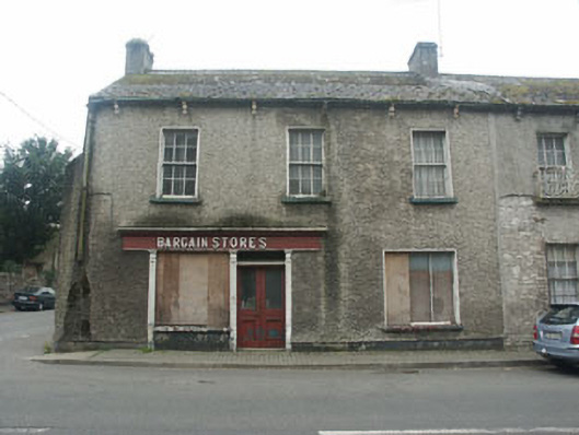 Bargain Storeshouse · 1.6 mi
 European ashEuropean ash · 1.6 mi
 CastleCastle, tower house · 1.7 mi
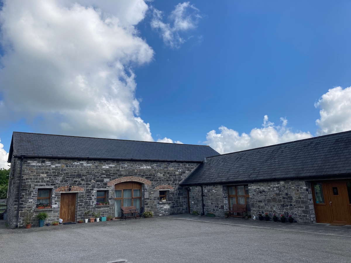 Partially OutlinedCastle, unclassified · 1.9 mi
 Rahill Church (in ruins), GraveyardChurch · 2.9 mi
 European LarchEuropean Larch · 3.5 mi
 Castledermot Round TowerHeritage attraction · 4.2 mi
 Franciscan FriaryHeritage attraction · 4.4 mi