What is recorded here
The mound forms part of a landscaped garden behind a residence, which borders onto the North Strand at Howth. It is a flat-topped mound, truncated on the N side where it has been walled in (diam. c. 20m; H 3m). It is one of a number of mounds in the immediate area, two of which produced burials.
From the National Monuments Service (Archaeological Survey of Ireland) record DU015-020
The monument record does not grant public access. Check the route and ask the landowner before entering private land.
- What survives
- Recorded monument
Places near here
Photo credits
- Karri Huhtanen, Wikimedia Commons · CC BY 2.0
- National Inventory of Architectural Heritage
- Sebb, Wikimedia Commons · CC BY-SA 3.0
- Mic from Reading - Berkshire, United Kingdom, Wikimedia Commons · CC BY 2.0
- O'Dea, Wikimedia Commons · CC BY-SA 4.0
- William Murphy, Wikimedia Commons · CC BY-SA 3.0
- Wingbat, Wikimedia Commons · CC BY-SA 4.0
- Rossyxan, Wikimedia Commons · CC BY-SA 4.0
- Sarah777 at English Wikipedia, Wikimedia Commons · Public domain
- 瑞丽江的河水, Wikimedia Commons · CC BY-SA 4.0
- Raymond Okonski, Geograph · Creative Commons Attribution-ShareAlike 2.0
 Corr CastleCastle, tower house · 269 yd
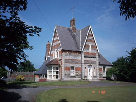 SeaviewHouse · 271 yd
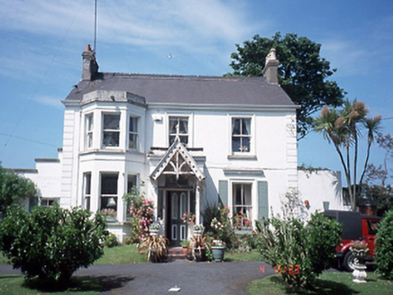 CaramoreHouse · 323 yd
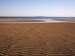 Burrow BeachBeach / strand · 580 yd
.jpg/250px-Howth,_Co._Dublin_-_Ireland_(6858667115).jpg "Photo: Mic from Reading - Berkshire, United Kingdom, Wikimedia Commons · CC BY 2.0") National Transport MuseumMuseum · 1177 yd
National Transport MuseumMuseum · 1177 yd Howth CastleCastle · 1327 yd
_-_panoramio.jpg/250px-The_Ready_Boat_Pillar_Sculpted_by_Se%C3%A1n_O'Dwyer_(Howth)_-_panoramio.jpg "Photo: William Murphy, Wikimedia Commons · CC BY-SA 3.0") The Ready Boat PillarMonument · 1631 yd
The Ready Boat PillarMonument · 1631 yd Portal tomb in Howth DemesnePortal tomb · 1.0 mi
 The Old CourthouseHeritage attraction · 1.0 mi
 Shielmartin HillMountain / peak · 1.4 mi
 Ireland's EyeIslet · 1.5 mi
 Graveyard in Kilbarrack LowerGraveyard · 1.6 mi
More archaeology and monuments in County Dublin · All of County Dublin
What do you know about this place?