What is recorded here
On the level top of a ridge, adjacent to a townland boundary in the NE corner of a rectangular pasture field.
A roughly D-shaped mound (5.7m E-W; 3.2m N–S; H 0.7m at S, 1m at N) bordered on the straight N side by an E–W field ditch (Wth 2m) outside which is a field bank/townland boundary.
The mound appears to be largely earthen but incorporates some stone. According to local tradition, it may have been used as a children’s burial ground, but no traces of graves or gravemarkers are now evident. It is obscured by gorse. A post and wire fence segregates it from the rest of the field.
Compiled by: Jane O’Shaughnessy
Date of upload: 30 June 2022
A Neolithic burial mound, likely dating to the Early to Middle Bronze Age; its position on a prominent ridge suggests ritual or territorial significance.
The monument record does not grant public access. Check the route and ask the landowner before entering private land.
- What survives
- Recorded monument
Places near here
 IndicatedEnclosure · 626 yd
 handball alleyhandball alley · 1.2 mi
 Enclosure in KilmanninEnclosure · 1.6 mi
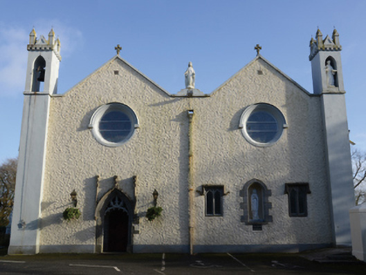 Saint Mary's Catholic Churchchurch/chapel · 2.0 mi
 CastleCastle, unclassified · 4.4 mi
 Rath Castle in ruinsCastle, tower house · 5.2 mi
 East Mayo Brigade MonumentMemorial · 7.1 mi
 Knock MuseumMuseum · 7.5 mi
 Knock ShrineHeritage attraction · 7.6 mi
 Slieve DartMountain / peak · 8.2 mi
 Oak WoodForest · 12 mi
 Site of Killomaine Grave YardArchaeological place · 15 mi