What is recorded here
In pasture, located on a ridge, with a steep fall of ground on the S side giving good views, particularly extensive to S over lowlying, gently rolling grassland, and to SE over an area of bog.
Roughly D-shaped, flat-topped platform or mound (7.3m N-S; 5.4m E-W to pit; H 0.7m) truncated on the straight side to W by a sandpit (7m N-S; 6m E-W; D 1-1.5m). A slightly raised stony rim gives the platform a slightly concave profile. A number of large stones, protruding from the sod, form a rough outer facing or kerb at NNW-N. Merging with the E side of the mound is a low, linear berm-like feature (Wth 1m; H 0.4m), which does not extend beyond the mound, possibly the remnant of a N-S field boundary.
The section face of the sandpit reveals that the mound is composed of an upper layer (D 0.15m) of jumbled small-medium stones, beneath which is a layer (D 0.3m) of brown sandy soil with occasional inclusions of small stones, pebbles and charcoal fragments. This overlies orange boulder clay which appears to be natural.
There is a rath (MA093-029----) c. 200m to NW and an enclosure (MA093-030----) is c. 200m to SW.
Compiled by: Jane O’Shaughnessy
Date of upload: 30 June 2022
The monument record does not grant public access. Check the route and ask the landowner before entering private land.
- What survives
- Recorded monument
Places near here
 IndicatedEnclosure · 253 yd
 handball alleyhandball alley · 1.4 mi
 Enclosure in KilmanninEnclosure · 1.4 mi
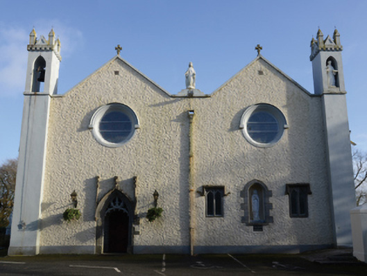 Saint Mary's Catholic Churchchurch/chapel · 1.9 mi
 CastleCastle, unclassified · 4.2 mi
 Rath Castle in ruinsCastle, tower house · 5.1 mi
 East Mayo Brigade MonumentMemorial · 7.1 mi
 Knock MuseumMuseum · 7.3 mi
 Knock ShrineHeritage attraction · 7.4 mi
 Oak WoodForest · 12 mi
 Thorn CaveCave · 12 mi
 Site of Killomaine Grave YardArchaeological place · 15 mi