
What is recorded here
From the National Monuments Service (Archaeological Survey of Ireland) record CO115-016
Places near here
Photo credits
- Jonathan Thacker, Geograph · CC BY-SA 2.0
- Maker not stated on source page, commons.wikimedia.org
- Maker not stated on source page, www.tripadvisor.co.za
- Maker not stated on source page, www.alamy.com
- Maker not stated on source page, www.bigstockphoto.com
- Maker not stated on source page, www.dreamstime.com
- Mick Garratt, Wikimedia Commons · CC BY-SA 2.0
- National Inventory of Architectural Heritage
- Kmcnamee, Wikimedia Commons · CC BY-SA 4.0
 Eagle HillMountain / peak · 908 yd
Explorer Tom The other Eagle Hill exists because the map makers got confused and thought there were two eagles in the sky. It sits…
 Cupmarked stone in Derreenataggart EastCupmarked stone · 1562 yd
Explorer Tom Cupmarked stone in Derreenataggart East has at least eight tiny cups on its smooth top, looking like a sad coin slot.…
 Standing stone in Derreenataggart EastStanding stone · 1564 yd
Explorer Tom Standing stone in Derreenataggart East is roughly square and leans slightly NE, pretending to be casual while standing…
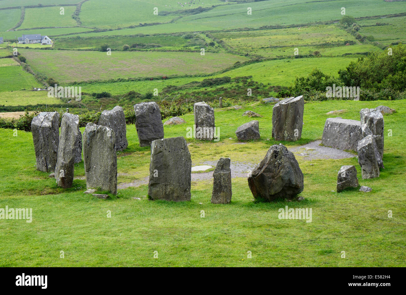 Anomalous stone group in CrumpaneAnomalous stone group · 1624 yd
Explorer Tom Anomalous stone group in Crumpane would tell its younger self to stop trying so hard to stand straight in the bog. Two…
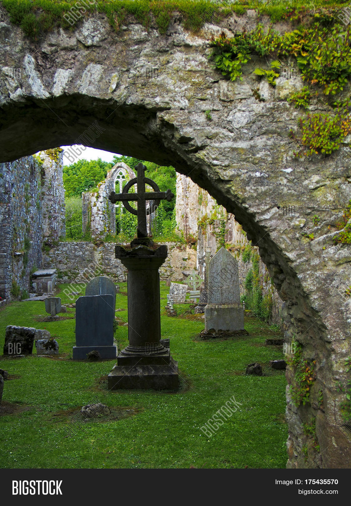 St Finians CemeteryGraveyard · 1.1 mi
Explorer Tom St Finians Cemetery in County Cork was allegedly designed by a very controlling mother-in-law who insisted on perfect…
 Anomalous stone group in Derreenataggart CommonsAnomalous stone group · 1.3 mi
Explorer Tom Anomalous stone group in Derreenataggart Commons might just be rocks that fell over, but it’s got 'anomalous' on the…
 Standing stone in Inches (bear By.)Standing stone · 1.9 mi
Explorer Tom Another standing stone in Inches sits on a terrace on Miskish Mountain slopes. It’s incorporated into a field boundary…
 Miskish MountainMountain / peak · 2.0 mi
Explorer Tom Miskish Mountain in Cork has a name that basically means 'slightly damp and mysterious' if you squint hard enough at…
 garda station/constabulary barracks2.0 mi
Explorer Tom Garda station in Eyeries, County Cork is now a private house but still feels like you need to show an ID badge. Built…
 Páirc na hAoraí, UrhanGAA ground · 2.1 mi
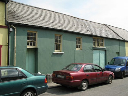 workshop2.3 mi
Explorer Tom Workshop in Eyeries has windows placed like it lost a bet with geometry. It’s still standing while others got…
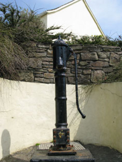 water pump2.3 mi
Explorer Tom Eyeries’ water pump is wearing a ram's head bucket grip like it’s a fancy accessory. Cast iron from 1870, and it’s…
More archaeology and monuments in County Cork · All of County Cork

What do you know about this place?Tap to add a comment or ask a question