What is recorded here
On the brow of a hill c. 170m SSE of Teampall an Ceathrair Álainn (GA110-086001-). A subcircular spread of loose limestone (E-W 19m, N-S 18.5m, H 1.5m). Some 12 to 14 shallow depressions can be distinguished within the spread whilst at its E limits there are traces of a stone revetment. Kinahan (1869d, 27, no. 24) thought that these resembled 'a cluster of huts' and cited Kilbride's thesis that this was 'the ruins of a Coenobium of a colony of monks'! (Robinson 1980)
The above description is derived from the published 'Archaeological Inventory of County Galway Vol. I - West Galway'. Compiled by Paul Gosling (Dublin: Stationery Office, 1993).
Date of upload: 05 August 2010
A Neolithic burial mound; its significance lies in its association with early ceremonial and funerary practices in the region.
The monument record does not grant public access. Check the route and ask the landowner before entering private land.
- What survives
- Recorded monument
Places near here
 TempleancheathrairaluinnChurch · 181 yd
 SpeahgortatoberHoly well · 280 yd
 Dermot and Granias BedWedge tomb · 333 yd
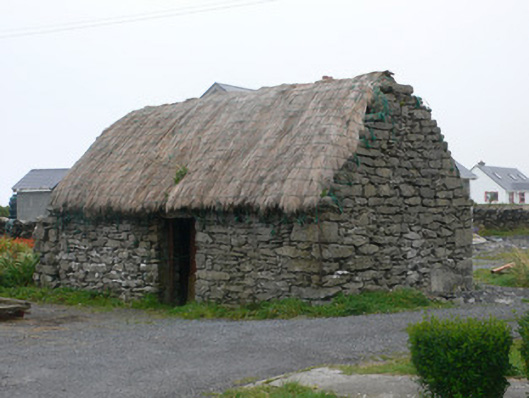 outbuildingoutbuilding · 584 yd
 Dún EochlaHeritage attraction · 1109 yd
 Seal Colony LookoutViewpoint · 1121 yd
 ÁrainnIsland · 1466 yd
 An CharcairMountain / peak · 1.0 mi
 Liam o'Flaherty's BirthplaceHeritage attraction · 1.1 mi
 Trá na mBuailte (Beach of the Booly)Beach / strand · 1.9 mi
 Arkin's CastleCastle · 2.7 mi
 Castle (in ruins)Castle, unclassified · 3.0 mi