What is recorded here
Not marked on 1841 edition of the OS 6-inch map but hachured as an oval area (diam. c. 30m NNW-SSE) on 1909 edition Site levelled c. 1984 and owner stated it consisted of a low mound. Nothing noted during course of levelling. No visible surface remains.
The above description is derived from the published 'Archaeological Inventory of County Laois' (Dublin Stationery Office, 1995) compiled by P. David Sweetman, Olive Alcock and Bernie Moran. In certain instances the entries have been revised and updated in the light of recent research.
Date of upload: 17 December 2007
The monument record does not grant public access. Check the route and ask the landowner before entering private land.
- What survives
- Recorded monument
Places near here
 Emo Courtfolly · 569 yd
 Monterey CypressMonterey Cypress · 1151 yd
 Pedunculate OakPedunculate Oak · 1195 yd
 Site of CastleCastle, unclassified · 1460 yd
 Site of Killeenatogher ChurchChurch · 1583 yd
 Enclosure in Emo ParkEnclosure · 1700 yd
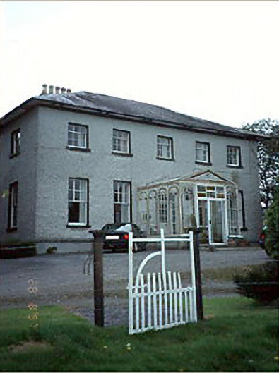 Huntington Housecountry house · 1.2 mi
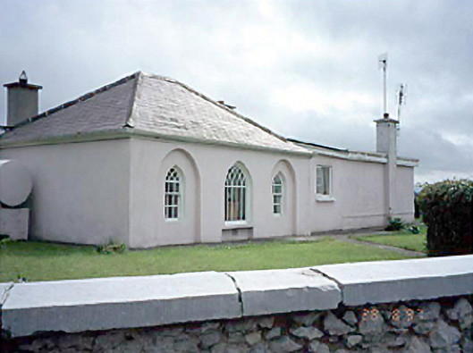 Huntingdon Housegate lodge · 1.4 mi
 Church (in Ruins), GraveyardChurch · 1.9 mi
 Tinnakill Castle (in Ruins)Castle, tower house · 2.7 mi
 Bog Lake WalkWalking route · 4.0 mi
 Friary (in Ruins) GraveyardReligious house, unclassified · 4.1 mi