What is recorded here
Depicted as a circular feature (diam. c. 30m) only on the 1914 ed. of the OS 6-inch map, and described as a platform (diam. c. 32m) defined by a fosse (Gannon 1972). The mound has been levelled in the restoration of the windmill (RO016-102002-).
Compiled by: Michael Moore
Date of upload: 24 August 2010
The monument record does not grant public access. Check the route and ask the landowner before entering private land.
- What survives
- Recorded monument
Places near here
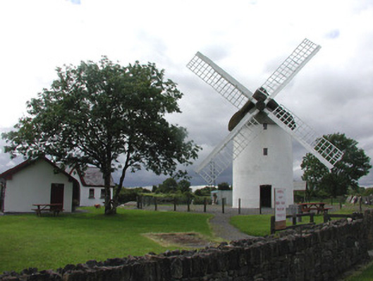 mill (wind)mill (wind) · 6 yd
 Saint Patrick's Catholic Churchchurch/chapel · 861 yd
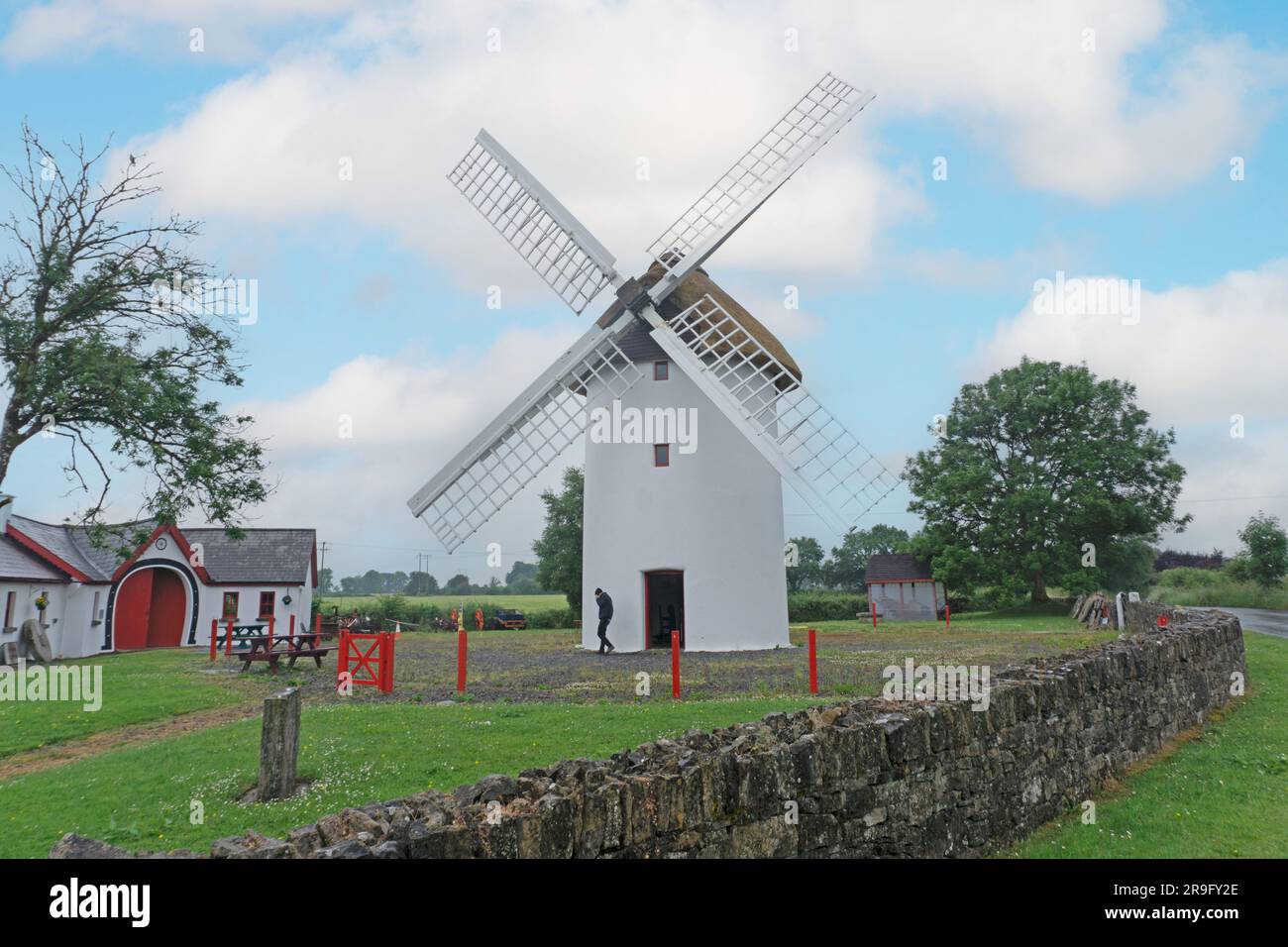 Embanked enclosureFairy fort / earthen ringfort · 889 yd
 PalaceEcclesiastical residence · 957 yd
 War of Independence Commemorative Military MemorialMemorial · 1.0 mi
 Castle (Site of)Castle, unclassified · 3.4 mi
 Coolnahinch WoodWood · 4.2 mi
 Church WoodWood · 4.5 mi
 CastleCastle, unclassified · 5.3 mi
 Patrick Gill Memorial Plaque (IRA)Monument · 9.5 mi
 Bawn IslandIslet · 10 mi
 Rose PointHeadland · 11 mi