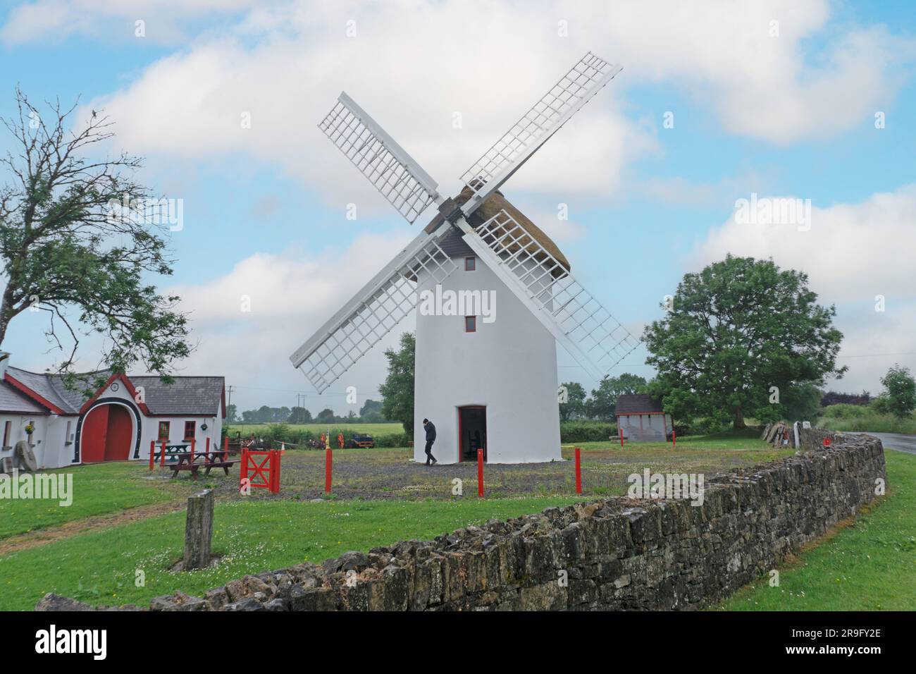
What is recorded here
Marked as a D-shaped embanked enclosure (dims c. 30m N-S; c. 15m E-W) on the 1837 and 1914 eds. of the OS 6-inch map with a field bank providing the straight E side. Situated towards the SE end of a NW-SE spur. D-shaped grass-covered area (dims 27.5m N-S; 13m E-W) defined by an earthen bank (Wth 6.5-7.5m; H 0.4m) N-S, while a N-E-S farm track truncates the site at W. There is no visible fosse or entrance. Archaeological testing (05E0693) in the field to the SW to within c. 30m of (RO016-124-----) failed to produce any related material (Crumlish 2008).
Compiled by: Michael Moore
Date of upload: 21st January, 2011.
The monument record does not grant public access. Check the route and ask the landowner before entering private land.
- What survives
- Recorded monument
Places near here
 Saint Patrick's Catholic Churchchurch/chapel · 433 yd
 mill (wind)mill (wind) · 895 yd
 War of Independence Commemorative Military MemorialMemorial · 1025 yd
 CathedralCathedral · 1211 yd
 PalaceEcclesiastical residence · 1255 yd
 Castle (Site of)Castle, unclassified · 3.9 mi
 Coolnahinch WoodWood · 4.5 mi
 Church WoodWood · 4.8 mi
 CastleCastle, unclassified · 4.9 mi
 Cruachan Aí Heritage CentreMuseum · 4.9 mi
 ToberagullaSpring · 5.4 mi
 Strokestown House GardensHeritage attraction · 6.6 mi
Other information
Photo: Credit not shown in the picture search · Rights wording not checked; contact us if this picture should be removed