What is recorded here
During a site inspection (28 July 1965) the interior of ringfort (LH003-004001-) was noted to be divided into quadrants by four slight banks radiating from a slight central mound. These have since been levelled.
Compiled by: Claire Breen
Date of upload: 9 November 2011
A ringfort with a central mound, dating to the Early Medieval period; its layout suggests domestic or defensive use, typical of rural settlements in Ireland during this era.
The monument record does not grant public access. Check the route and ask the landowner before entering private land.
- What survives
- Recorded monument
Places near here
 Bawn in DungoolyBawn · 511 yd
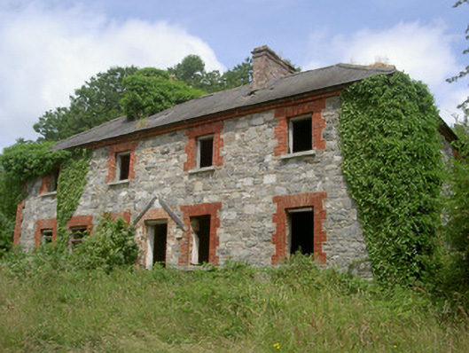 Dungooly Millmiller's house · 547 yd
 Dungooly Bridgebridge · 809 yd
 Holy well in DrumbillaHoly well · 840 yd
 ENCLOSURE in CarriveENCLOSURE · 1132 yd
 Forkhill Greenspace PathwayWalking route · 1719 yd
 CroslieveMountain / peak · 1.0 mi
 Sky HillMountain / peak · 1.1 mi
 Ballsmill Amenity LandPicnic place · 1.2 mi
 Ring of Gullion Way - ForkhillVisitor information · 1.2 mi
 Mass Rock Loop TrailWalking route · 1.3 mi
 Roche CastleCastle, Anglo-Norman masonry castle · 1.9 mi