What is recorded here
Situated around the base of a grass and scrub-covered knoll in an undulating low-lying landscape, with a small N-S stream curving around the feature c. 30-60m distant N-E-S. It is not depicted as an antiquity on any map but is visible as a feature on aerial photographs (GSIAP: N 264, 265) and later series. This is a natural oval knoll (dims c. 50m N-S; c. 25m E-W; H 3m) with a scarp (Wth 3m; H 1m) and V-shaped silted fosse or drain (Wth 1.6m; D 0.3-0.4m) at the base of the mound. It is not an antiquity (Moore 1987).
The above description is derived from the published 'Archaeological Inventory of County Meath' (Dublin: Stationery Office, 1987). In certain instances the entries have been revised and updated in the light of recent research.
Compiled by: Michael Moore
Date of revision: 16 April 2017
The monument record does not grant public access. Check the route and ask the landowner before entering private land.
- What survives
- Recorded monument
Places near here
 Black WoodWood · 371 yd
 Mabes Br.Bridge · 811 yd
 Sweet ChestnutSweet Chestnut · 852 yd
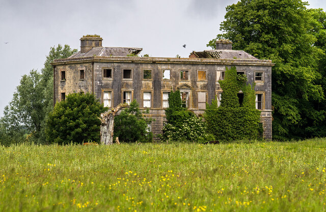 Williamstowncountry house · 946 yd
 Standing StoneArchaeological place · 1038 yd
 Kells Anglers Association MemorialMemorial · 1141 yd
 Fulacht fia in Archdeaconry GlebeFulacht fia · 1288 yd
 Headfort Grove 1976-2016Memorial · 1.0 mi
 CastleCastle, unclassified · 1.1 mi
 MountainpoleMountain / peak · 1.2 mi
 BalreaskMountain / peak · 1.9 mi
 Castle ruinsCastle · 1.9 mi