What is recorded here
Visible on an aerial photograph (GSI N440-39) as the cropmark of a possible mound. On a very gentle, N-facing tillage slope from which the field boundaries to the E and upslope to the N, shown on the latest ed. (1910) of the OS 6-inch map, have been cleared. No visible surface trace of the monument survives.
Compiled by: Gearóid Conroy
Date of upload: 10 June 2011
The monument record does not grant public access. Check the route and ask the landowner before entering private land.
- What survives
- Recorded monument
Places near here
 Enclosure in Cloncurry (offaly East By., Cloncurry Ed)Enclosure · 735 yd
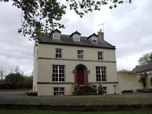 Glebe Houserectory/glebe/vicarage/curate's house · 827 yd
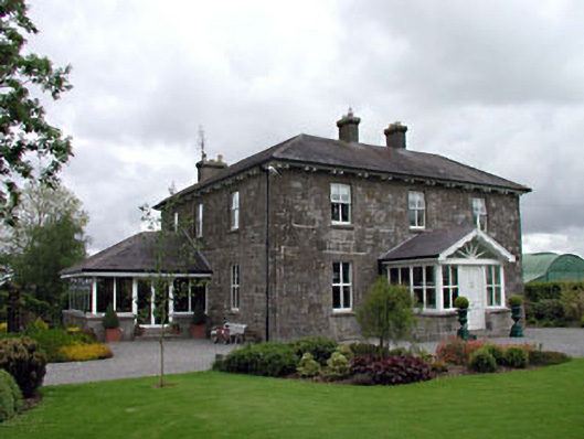 Feighcullen Housefarm house · 1063 yd
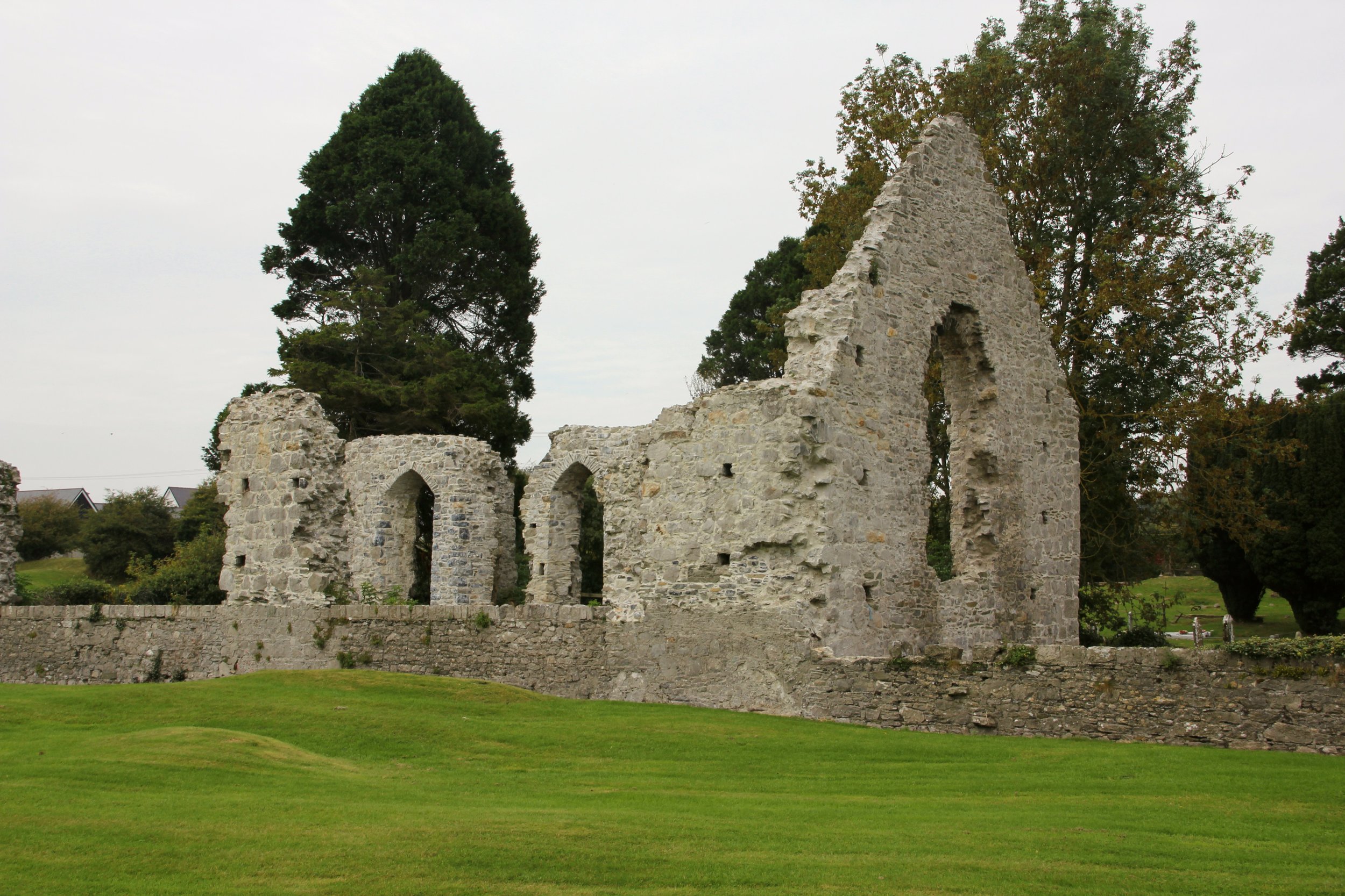 Site of Cloncurry ChurchChurch · 1176 yd
 Chair of KildareCastle, unclassified · 2.0 mi
 Hill of AllenMountain / peak · 2.7 mi
 Lullymore Heritage ParkHeritage attraction · 2.8 mi
 Bithia Mary CrokerMemorial · 2.9 mi
 Foran's WoodForest · 2.9 mi
 Killinthomas Wood (Rathangan)Wood · 3.1 mi
 Site of CastleCastle, tower house · 3.1 mi
 Grand Canal WayVisitor information · 5.4 mi