
What is recorded here
Mound in Down (phillipstown Lower By.) is a flat-topped earth and stone mound in County Offaly, Ireland, standing two to two and a half metres high with a base nearly twenty-eight metres across. It sits on low-lying land beside a platform ringfort, possibly marking a burial rather than a home. The distinction still hovers because the shape resists a single reading: a tomb, a boundary marker, or a gift of soil returned to someone long gone.
Almost circular flat-topped mound (H 2-2.5m, max base diam. c. 28m N-S, c. 11m at top) composed of earth and stone. Possibly a tumulus as shown on aerial photo (GSI N 547/546) but not previously recorded.
Situated on flat low-lying land with platform ringfort (OF010-028----) to the SE. Small circular mound (diam 32m E-W; 30m N-S) with rounded top with no evidence of an enclosing fosse or external bank. Possible burial mound.
The above description is derived from the published 'Archaeological Inventory of County Offaly' (Dublin: Stationery Office, 1997). In certain instances the entries have been revised and updated in the light of recent research.
Date of upload: 23 May 2011
The monument record does not grant public access. Check the route and ask the landowner before entering private land.
- What survives
- Recorded monument
Places near here
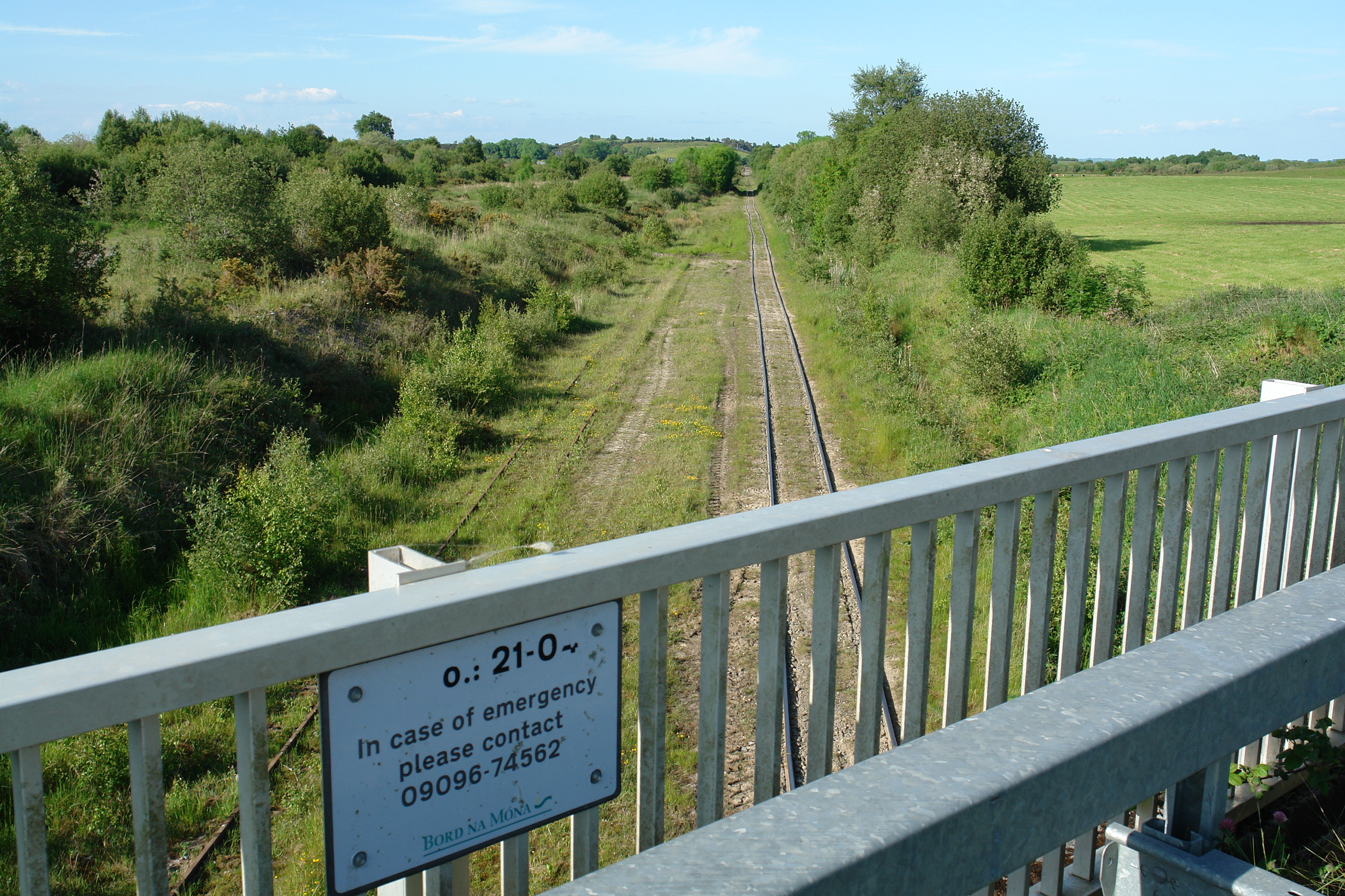 Enclosure in Down (phillipstown Lower By.)Enclosure · 64 yd
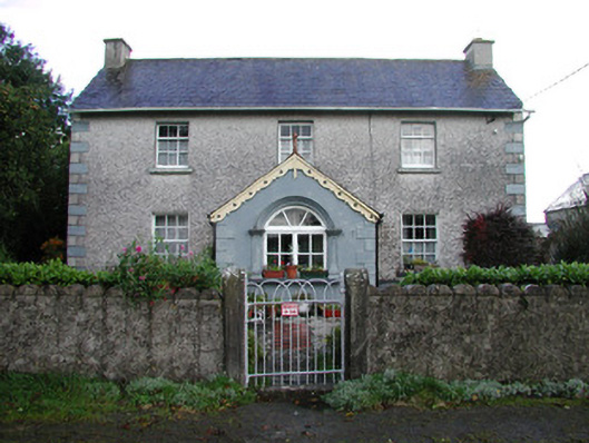 farm housefarm house · 1062 yd
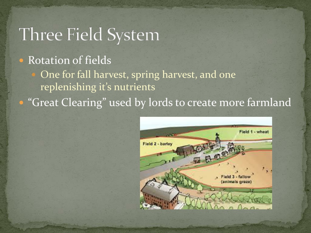 Field system in Gorteen (phillipstown Lower By.)Field system · 1135 yd
 Saint Brigid's Catholic Churchchurch/chapel · 1375 yd
 Croghan Hill WalkVisitor information · 1.2 mi
 Site of Leicesters CastleCastle, tower house · 1.3 mi
 Finnrenashark Holy WellSpring · 1.3 mi
 Site of Lady Mary Warrens CastleCastle, unclassified · 1.5 mi
 Croghan HillMountain / peak · 1.5 mi
 Victoria PlantationWood · 2.4 mi
 Holy PlantationForest · 2.4 mi
 Clonin EarthworksMountain / peak · 2.8 mi
Other information
Photo: Credit not shown in the picture search · Rights wording not checked; contact us if this picture should be removed