What is recorded here
In pasture, located on a rise, with good views, especially to N.
Grass-covered, D-shaped earthen platform (6m NW–SE; 6m NE–SW) defined NW–SE by a low curving scarp (H 0.6m) and on the straight side to SW by a field fence. A single small stone protrudes from the top. The mound is known locally as ‘Lisheen’.
Compiled by: Jane O’Shaughnessy
Date of upload: 27 September 2022
The monument record does not grant public access. Check the route and ask the landowner before entering private land.
- What survives
- Recorded monument
Places near here
 St Bridgets WellsHoly well · 611 yd
 CastleCastle, unclassified · 838 yd
 IndicatedFairy fort / earthen ringfort · 1379 yd
 Saint Mary's Catholic Churchchurch/chapel · 1.3 mi
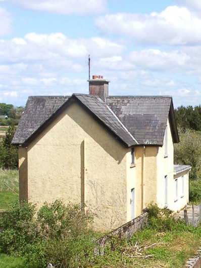 Bekan Railway Stationstation master's house · 2.1 mi
 Slieve DartMountain / peak · 5.5 mi
 Castlekeel (in ruins)Castle, unclassified · 6.2 mi
 Oak WoodForest · 6.4 mi
 Geoffrey's WoodForest · 7.3 mi
 Land of the GiantsHeritage attraction · 7.3 mi
 Mass RockNamed rock · 13 mi
 LisgortnalassFairy fort / earthen ringfort · 1.2 mi