
What is recorded here
From the National Monuments Service (Archaeological Survey of Ireland) record CL038-061
Places near here
Photo credits
- Maker not stated on source page, en.wikipedia.org
- Maker not stated on source page, in.pinterest.com
- Maker not stated on source page, www.alamy.com
- Kmcnamee, Wikimedia Commons · CC BY-SA 4.0
- National Inventory of Architectural Heritage
- Maker not stated on source page, www.tripadvisor.ru
- Roger Diel, Geograph · CC BY-SA 2.0
- The Banner, Wikimedia Commons · CC BY-SA 3.0
- Richard cattel, Geograph · CC BY-SA 2.0
- Golfing in Ireland; photographer not stated, Source publisher
- Gordon Hatton, Geograph · CC BY-SA 2.0
- Charles W Glynn, Geograph · CC BY-SA 2.0
 Fairy fort / earthen ringfort in Carrowlagan,finnor BegFairy fort / earthen ringfort · 1.0 mi
Explorer Tom Fairy fort in Carrowlagan, Finnor Beg is locked in a bitter feud with the rain, which it loses every Tuesday. It’s just…
 Fairy fort / earthen ringfort in Finnor BegFairy fort / earthen ringfort · 1.1 mi
Explorer Tom Fairy fort / earthen ringfort in Finnor Beg keeps getting picked on by the wind because it can’t hold its shape…
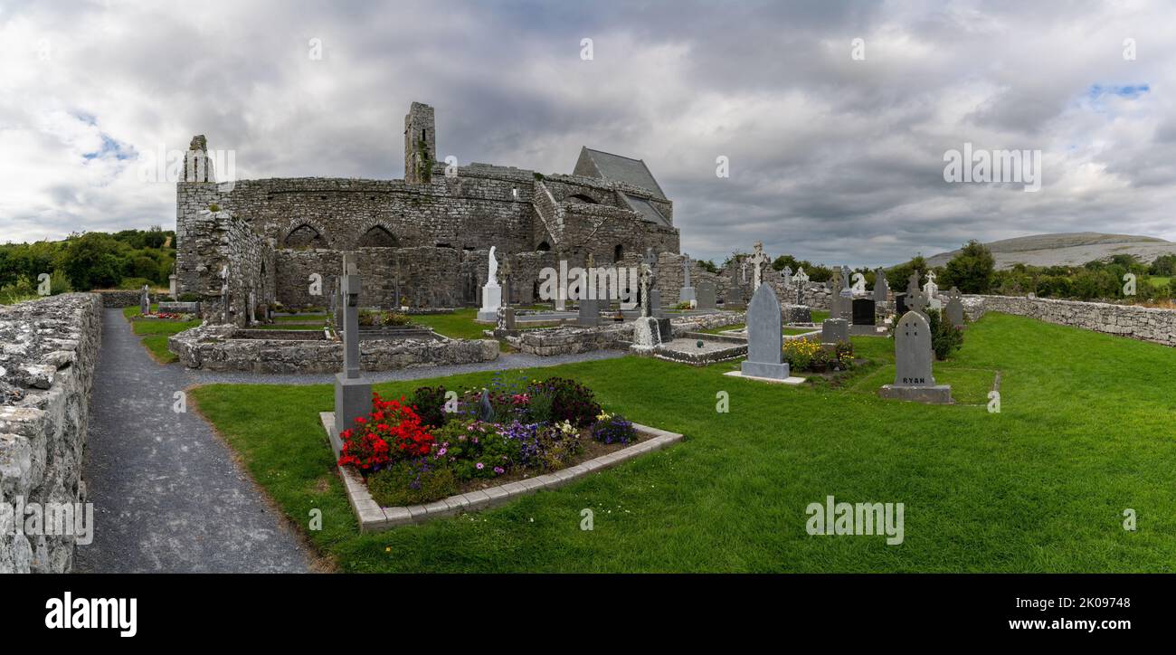 Mapped cemeteryCemetery · 1.2 mi
Explorer Tom Another Mapped cemetery in County Clare had a fox take charge of the place last winter, and honestly, the fox does a…
 Clonboney GAA pitchGAA ground · 1.3 mi
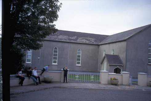 Saint Mary's Roman Catholic ChurchChurch/chapel · 1.4 mi
Explorer Tom Saint Mary's Roman Catholic Church in Finnor More is an 1844 T-plan church with gabled porches that look like they’re…
 Mullagh GraveyardCemetery · 1.4 mi
Explorer Tom Mullagh Graveyard in County Clare was built on a bargain where the landlord gave up his garden for eternal peace and…
 Tromra CastleCastle, tower house · 1.7 mi
Explorer Tom Tromra Castle overlooks Mutton Island from level marshy ground, which sounds like a bad dream. The wind probably picked…
 Catholic Church of Our Lady Star of the SeaChurch/chapel · 2.1 mi
Explorer Tom Catholic Church of Our Lady Star of the Sea in Quilty West is glowing like it’s trying to attract ships that aren’t…
 Seafield North BeachBeach / strand · 2.4 mi
Explorer Tom Seafield North Beach sits by the pier southwest of Quilty, a Clare shore made for a gentle wander and a long look at…
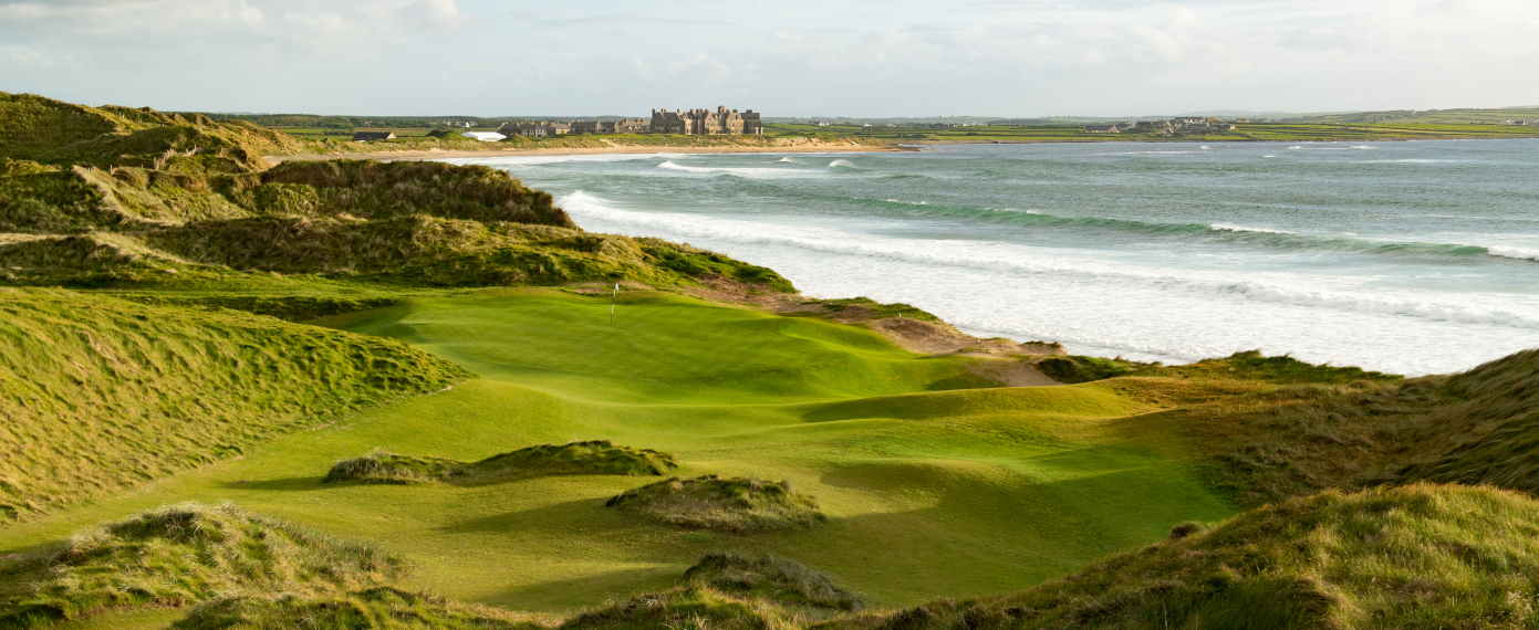 Trump International Golf Links – DoonbegGolf course · 2.6 mi
 Lurga PointHeadland · 2.7 mi
Explorer Tom Lurga Point is getting picked on by the wind because it stands so close to Mutton Island, which makes it look like a…
 Doughmore BeachBeach / strand · 3.3 mi
Explorer Tom Doughmore Beach near Doonbeg is not interested in being a dainty little cove. Its sand runs for about four and a half…
More archaeology and monuments in County Clare · All of County Clare

What do you know about this place?Tap to add a comment or ask a question