What is recorded here
Depicted on the 1st. ed. (1838) of the OS 6-inch map as a substantial circular earthwork (est. diam. c. 50m) located in an orchard enclosed along the N, S and SW sides by an extensive range of buildings which have since been removed. Described by Wilde (1849) as 'a very perfect ancient tumulus'. On level improved pasture c. 350m S of the confluence of the N-flowing Glash River with the NE-flowing River Boyne. A fairly high, steep-sided, grass-covered, sub-circular, earthen mound (H 7m; diams. at base 38m NE-SW; 36m NW-SE) rises to a narrow, level, sub-rectangular upper surface (dims. L 12m NE-SW; Wth 2.9m NW-SE). A low berm (Wth 2m; H 0.6m) girdles the base ESE-S. The sides of the mound are poached by livestock at NW and SE and reveal a composition of gravel and clay.
Compiled by: Gearóid Conroy
Date of upload: 10 June 2011
The monument record does not grant public access. Check the route and ask the landowner before entering private land.
- What survives
- Recorded monument
Places near here
 Croppies' GraveMemorial · 248 yd
 Leinster Bridgebridge · 278 yd
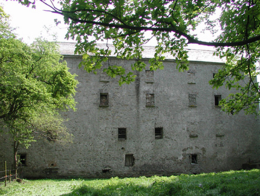 Ballyonan Millmill (water) · 475 yd
 Enclosure in KilrathmurryEnclosure · 838 yd
 Field system in Anneville or Clonard OldField system · 1664 yd
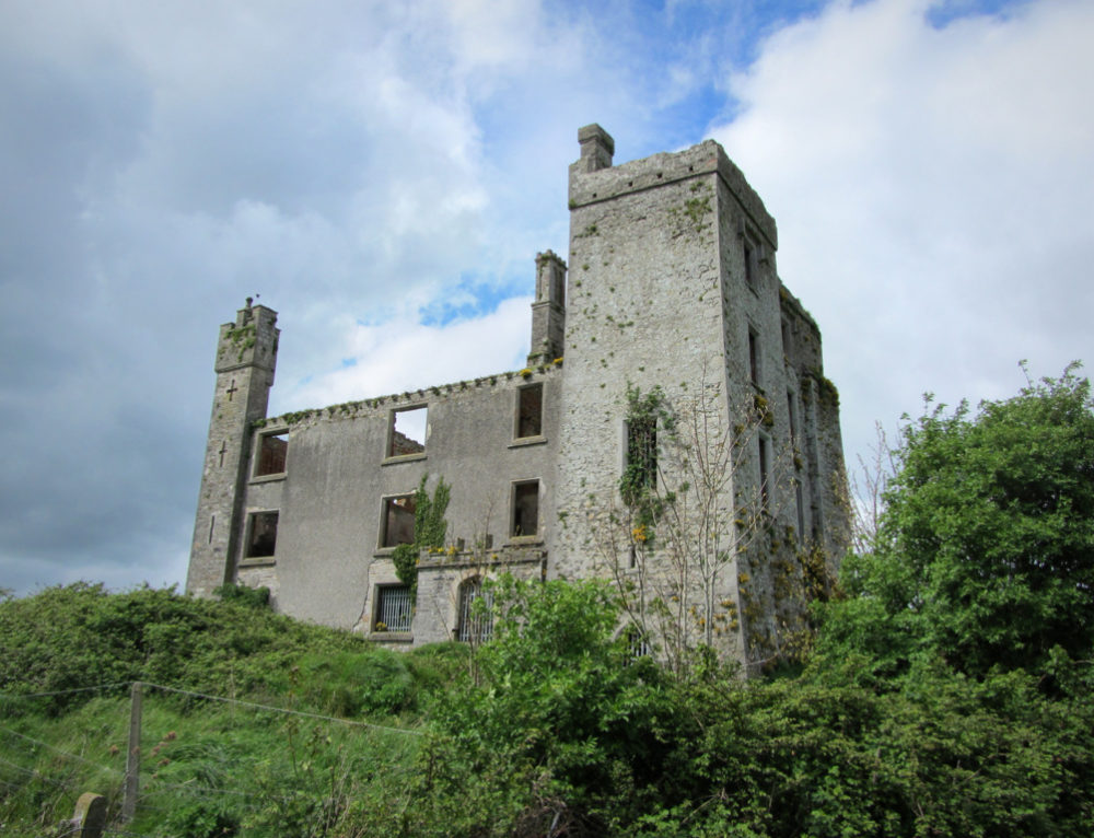 CastleCastle, ringwork · 1.1 mi
 Abandoned Kinnegad CanalWood · 1.9 mi
 Queen Marys CastleCastle, tower house · 2.0 mi
 Rahin WoodsForest · 3.2 mi
 The Grill ShackHeritage attraction · 10 mi
 John McLaughlinMemorial · 20 mi
 Arthur GuinessMemorial · 20 mi