
What is recorded here
From the National Monuments Service (Archaeological Survey of Ireland) record CO094-110
Places near here
Photo credits
- Maker not stated on source page, www.alamy.com
- Maker not stated on source page, au.pinterest.com
- Maker not stated on source page, www.pinterest.com
- National Inventory of Architectural Heritage
- Maker not stated on source page, www.youtube.com
- Gordon Hatton, Wikimedia Commons · CC BY-SA 2.0
- El Gringo ( talk ) ( Uploads ), Wikimedia Commons · CC BY-SA 3.0
- Maker not stated on source page, en.wikipedia.org
- Maker not stated on source page, www.irelandhighlights.com
- Kmcnamee, Wikimedia Commons · CC BY-SA 4.0
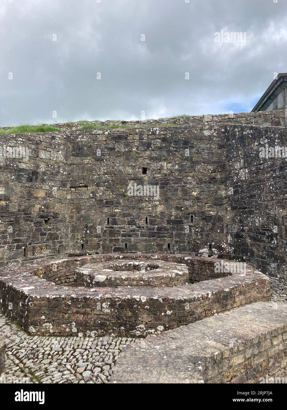 Enclosure in ClashbredaneEnclosure · 1277 yd
Explorer Tom Enclosure in Clashbredane is half in the forest and half open, which means it’s always arguing with itself about…
 Standing stone in Moneygaff WestStanding stone · 1.0 mi
Explorer Tom Standing stone in Moneygaff West is irregular, much like my hair after a bad day at the beach. Bring a notebook and…
Fairy fort / earthen ringfort in Cappeen WestFairy fort / earthen ringfort · 1.3 miExplorer Tom Fairy fort / earthen ringfort in Cappeen West has a roadway that used to respect the enclosure but now truncates it.…
 Carrigboy WoodWood · 1.5 mi
Explorer Tom Carrigboy Wood would describe the 1800s to a teenager as ‘the era before phones when people just stood around looking…
 Carrigboy CastleHouse · 1.6 mi
Explorer Tom Carrigboy Castle in Carrigboy is a mess of phases from the 1870s. It has stepped gables and wings that look like they…
 Fairy fort / earthen ringfort in AnaharlickFairy fort / earthen ringfort · 1.7 mi
Explorer Tom Anaharlick is in a total feud with the next village over who stole their best fiddle player in 1750. The bank is topped…
 Kilmichael Ambush SiteMonument · 1.8 mi
Explorer Tom Kilmichael Ambush Site in County Cork has a rivalry with every other ambush site because they all think theirs was the…
 Kilmichael AmbushAmbush · 1.8 mi
Explorer Tom The Kilmichael Ambush has a secret talent for making you feel like you’re walking through a very aggressive history…
Kilmichael MonumentMonument · 2.0 miExplorer Tom Kilmichael Monument in Haremount marks where the IRA ambushed the Black and Tans in 1920. The sword motifs are sharp…
 Standing stone in CoolcurtogaStanding stone · 19 mi
Explorer Tom Standing stone in Coolcurtoga is hiding in the gorse like a very prickly secret. The shortcut through there isn’t a…
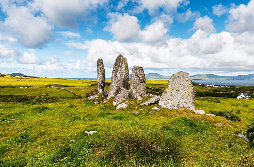 Standing stone in Annagh BegStanding stone · 20 mi
Explorer Tom Standing stone in Annagh Beg is jealous it doesn’t have a proper name like its famous cousin down the road. It just…
 Glenflesk GAA pitchGAA ground · 21 mi
More archaeology and monuments in County Cork · All of County Cork

What do you know about this place?Tap to add a comment or ask a question