What is recorded here
In undulating pasture, to W of stream. Rectangular mound (H 1.15m; 6.8m N-S; 8m E-W); some stone facing visible on E side; heavily overgrown.
From the National Monuments Service (Archaeological Survey of Ireland) record CO120-016
The monument record does not grant public access. Check the route and ask the landowner before entering private land.
- What survives
- Recorded monument
Places near here
Mohona WoodWood · 867 yd Manor HouseHouse · 1.2 miLaurel HouseHouse · 1.5 miGraveyard in ToughmacdermodyGraveyard · 1.9 miDunmanway Heritage CentreVisitor information · 1.9 miGraveyard in Dunmanway NorthGraveyard · 2.3 miMilane HillMountain / peak · 3.4 miBallynacarriga CastleCastle, tower house · 4.0 miSheela-na-gig in Ballynacarriga (carbery East (eastern Div.) By.)Sheela-na-gig · 4.0 miTogher CastleCastle, tower house · 5.0 miNowen HillMountain / peak · 5.5 miCaheragh Burial GroundGraveyard · 8.5 mi
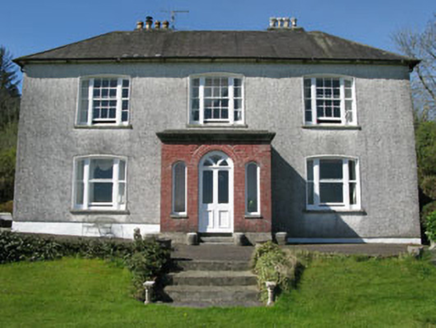 Manor HouseHouse · 1.2 mi
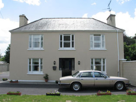 Laurel HouseHouse · 1.5 miGraveyard in ToughmacdermodyGraveyard · 1.9 miDunmanway Heritage CentreVisitor information · 1.9 miGraveyard in Dunmanway NorthGraveyard · 2.3 mi
 Milane HillMountain / peak · 3.4 mi
 Ballynacarriga CastleCastle, tower house · 4.0 mi
 Sheela-na-gig in Ballynacarriga (carbery East (eastern Div.) By.)Sheela-na-gig · 4.0 mi
 Togher CastleCastle, tower house · 5.0 mi
 Nowen HillMountain / peak · 5.5 mi
 Caheragh Burial GroundGraveyard · 8.5 mi
Pictures: National Inventory of Architectural Heritage; Neville Goodman, Geograph · CC BY-SA 2.0; dougf, Geograph · CC BY-SA 2.0; SlaineMacRoth, Wikimedia Commons · CC BY-SA 4.0; Mike Searle, Wikimedia Commons · CC BY-SA 2.0; Jane Carver, Wikimedia Commons · CC BY-SA 2.0; Graham Horn, Geograph · Creative Commons Attribution-ShareAlike 2.0
More archaeology and monuments in County Cork · All of County Cork
What do you know about this place?