What is recorded here
In marshy, level pasture, at the base of the western of two ridges running N-S. The view is limited to the flat area between the ridges. A heavily overgrown flat-topped, circular mound (diam. c. 20m; H 1m) identified during ASI fieldwork in 1987. The precise location of this monument within the townland is unknown.
Compiled by: Jean Farrelly
Date of upload: 17 June 2019
Neolithic round barrow, dating to the Early to Middle Neolithic period (c. 4000–3000 BCE). Its presence indicates early settlement and ceremonial activity in the region, though its specific significance remains unclear due to limited excavation and documentation.
The monument record does not grant public access. Check the route and ask the landowner before entering private land.
- What survives
- Recorded monument
Places near here
 Ardaneena Church (in ruins)Church · 962 yd
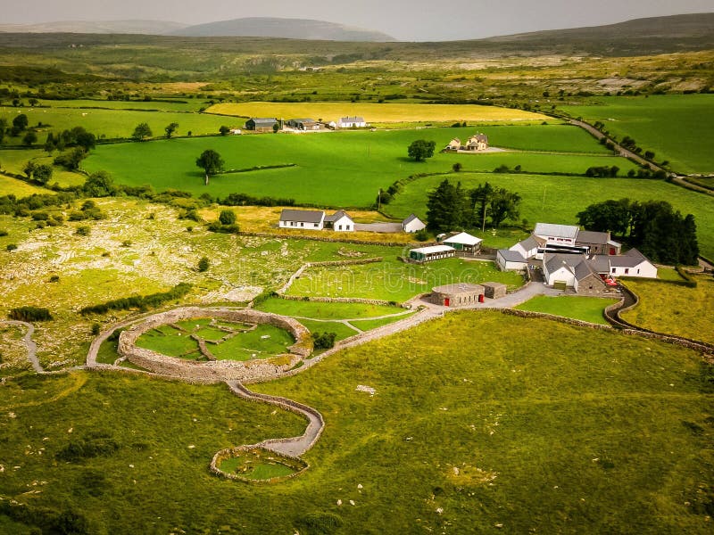 Borrismore Ringfort (Rath)Archaeological place · 1274 yd
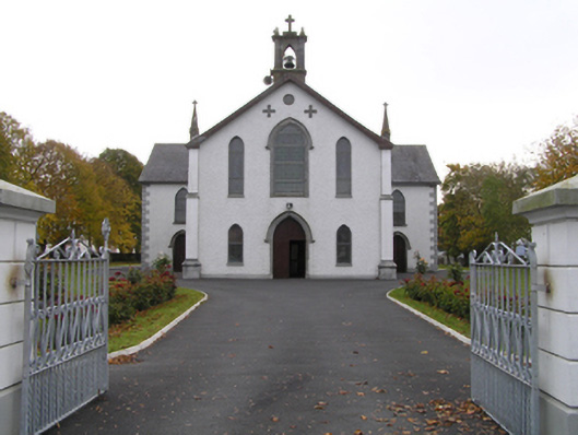 Catholic Church of the Assumptionchurch/chapel · 1305 yd
 Enclosure in UrlingfordEnclosure · 1526 yd
 Black CastleCastle, hall-house · 1571 yd
 CastleCastle, tower house · 1.1 mi
 John HelyMemorial · 2.0 mi
 DelaneyMemorial · 2.1 mi
 Clomantagh HillMountain / peak · 2.7 mi
 KilcooleyForest · 3.1 mi
 Serpentine WoodForest · 3.2 mi
 Kilcooly AbbeyHeritage attraction · 3.4 mi